National Register of Historic Places
High Street Historic District (Boundary Increase)
Burlington, Burlington County, New Jersey
The record
- Listed
- August 25, 2014
- Type
- Historic district
- Address
- 6 W. Pearl St., Burlington
- County
- Burlington
- State
- New Jersey
- Contributing resources
- 1 building, 1 sitebuildings, sites and structures that add to its history
- Coordinates
- 40.08056, -74.85998
- Reference number
- 14000515
Slide toward Today to fade the historical sheet and see the modern map underneath.
David Rumsey Map Collection, Stanford LibrariesUSGS Historical Topographic Map CollectionDavid Rumsey Map Collection, Stanford LibrariesDigital Commonwealth, Boston Public LibraryLionel Pincus and Princess Firyal Map Division, The New York Public Library
Historical maps covering this location
- 1689 · A mapp of ye improved part of Pensilvania in America, divided into countyes, townships… (Digital Commonwealth, Boston Public Library)
- 1807 · Armees Americaine et Britannique en 1776 et 1777 dans le Maryland. (David Rumsey Map Collection, Stanford Libraries)
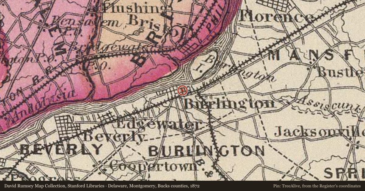
- 1872 · Delaware, Montgomery, Bucks counties. (David Rumsey Map Collection, Stanford Libraries)
- 1873 · Map of The State of New Jersey (Lionel Pincus and Princess Firyal Map Division, The New York Public Library)
- 1942 · Burlington, Pennsylvania (USGS Historical Topographic Map Collection)
Who held this land, and when? See it on the Atlas.
The story
Written by AI from this property's National Register nomination and the record above; every sentence is checked against its sources before it appears here. Corrections: privacy@treealive.com
The High Street Historic District (Boundary Increase) is a historic district at 6 W. Pearl St. in Burlington, Burlington County, in the Colonial and Federal styles. A first brewery was established on the site c. 1678, and the building took its present form in stages.
What the Register recognized
It was listed in the National Register in 2014 under criteria A, B, C and D, with local significance in community planning and development, politics and government, military history, literary history, architecture and commerce.
Physical character
The walls are stucco over brick on a stone foundation, under an asphalt gable roof. In 1796 a Federal staircase and Federal door frames and molding were installed, and the center chimney was removed, and a south addition was built in 1885-1891.
Historical context
The property was used as a brewery from about 1678 to 1796, when it was converted to a residence and Jackson Browne French and Katherine Lawrence purchased it. Thomas Budd, whom the West Jersey assembly commissioned in 1684 to voyage to England, sold the Burlington brewery to Samuel Jennings in 1693. Frank Richard Stockton moved in in 1860, and Walter H. Shull and Mabel Shull bought the house in 1901. A renovation begun in 2001 was halted in 2008, when the house was put up for sale, and John Brady bought it in 2010.
Criterion A means tied to important events; B, to an important person; C, to its design or construction; D, to what it can still teach us.
Nearby on the Register
- High Street Historic DistrictHistoric districtunder 1 mi
- Burlington Historic DistrictHistoric districtunder 1 mi
- New St. Mary's Episcopal ChurchBuildingunder 1 mi
- Quaker SchoolBuildingunder 1 mi
Other National Register listings within about three miles of this one, by straight line.
Historical markers nearby
- Free Libraryunder 1 mi
- Grant Houseunder 1 mi
- Old St. Mary'sunder 1 mi
- New St.under 1 mi
Historical markers within about three miles of this listing, by straight line.