National Register of Historic Places
Flat Top Estate
Blowing Rock vicinity, Watauga County, North Carolina
The record
- Listed
- December 24, 2013
- Type
- Historic district
- Address
- Blue Ridge Pkwy., milepost 292.8 to 295.5, Blowing Rock vicinity
- County
- Watauga
- State
- North Carolina
- Contributing resources
- 4 buildings, 2 sitesbuildings, sites and structures that add to its history
- Coordinates
- 36.15399, -81.69127
- Reference number
- 13000978
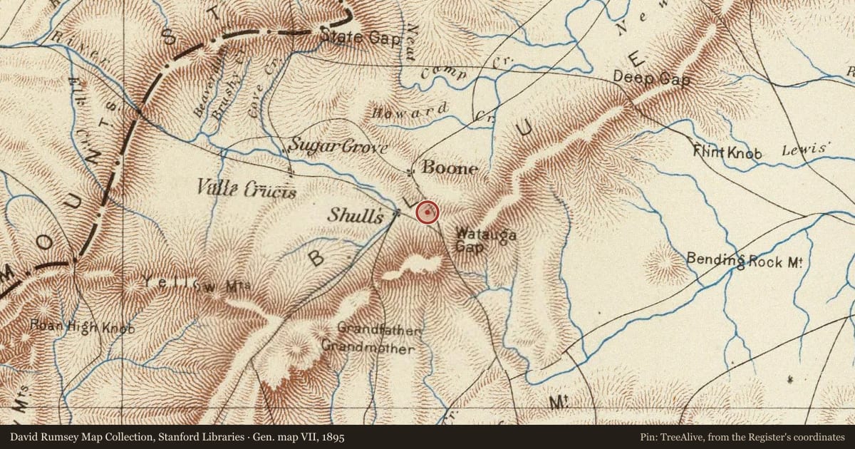
Slide toward Today to fade the historical sheet and see the modern map underneath.
The outline is the area recorded for this listing in National Park Service map data, drawn approximately.
USGS Historical Topographic Map CollectionDavid Rumsey Map Collection, Stanford LibrariesDavid Rumsey Map Collection, Stanford LibrariesBarry Lawrence Ruderman Map Collection, Stanford LibrariesUSGS Historical Topographic Map Collection
Historical maps covering this location
- 1776 · Map Of North And South Carolina With Their Indian Frontiers. (Northern Section) (David Rumsey Map Collection, Stanford Libraries)
- 1829 · Tennessee (A. Finley, 1829) (Barry Lawrence Ruderman Map Collection, Stanford Libraries)
- 1893 · Cranberry, North Carolina (USGS Historical Topographic Map Collection)
- 1895 · Gen. map VII. (David Rumsey Map Collection, Stanford Libraries)
- 1934 · Boone, North Carolina (USGS Historical Topographic Map Collection)
Who held this land, and when? See it on the Atlas.
The story
Written by AI from this property's National Register nomination and the record above; every sentence is checked against its sources before it appears here. Corrections: privacy@treealive.com
Flat Top Estate is a historic district near Blowing Rock in Watauga County, stretching along the Blue Ridge Parkway between mileposts 292.8 and 295.5. Its centerpiece, Flat Top Manor, was built in 1899-1900 in the Colonial Revival style, with a T-shaped plan and a gable roof with cornice returns.
What the Register recognized
Flat Top Estate was listed in the National Register in 2013 under criteria A, B and C, with significance in architecture, industry, landscape architecture and social history at both the national and state levels. Its period of significance runs from 1899 to 1947, framed by Flat Top Manor's 1899-1900 construction and by Bertha Cone's death in 1947, which ended the Cone family's direct connection to the estate.
Physical character
The manor's walls are painted wood siding with a Dutch-lap profile, over a stucco-parged rubble-stone foundation, and it has a wrap-around porch, a widow's walk and a Palladian window. Its balustrade was rebuilt around 1988, and the nomination names Orio Epps as architect.
Historical context
Moses Herman Cone began acquiring the estate's roughly 3,500 acres in 1892, and his death in 1908 concluded its main period of development. Bertha had Heart Pond built in 1909 and kept the orchards until about 1940; her ashes were placed in the estate cemetery in 1948.
Criterion A means tied to important events; B, to an important person; C, to its design or construction; D, to what it can still teach us.
Nearby on the Register
- Bollinger-Hartley HouseBuilding2 mi
- WestglowBuilding2 mi
- Randall Memorial Building, FormerBuilding2 mi
- Vardell Family Cottages Historic DistrictHistoric district2 mi
Other National Register listings within about three miles of this one, by straight line.
Historical markers nearby
Historical markers within about three miles of this listing, by straight line.