National Register of Historic Places
Taylor's Bridge School
Townsend vicinity, New Castle County, Delaware
The record
- Listed
- June 20, 2019
- Type
- Building
- Address
- 121 Flemings Landing Rd., Townsend vicinity
- County
- New Castle
- State
- Delaware
- Contributing resources
- 1 buildingbuildings, sites and structures that add to its history
- Coordinates
- 39.40557, -75.58805
- Reference number
- 100004079
Slide toward Today to fade the historical sheet and see the modern map underneath.
David Rumsey Map Collection, Stanford LibrariesUSGS Historical Topographic Map CollectionDavid Rumsey Map Collection, Stanford LibrariesDavid Rumsey Map Collection, Stanford LibrariesDavid Rumsey Map Collection, Stanford Libraries
Historical maps covering this location
- 1795 · Delaware. (David Rumsey Map Collection, Stanford Libraries)
- 1796 · Delaware. (David Rumsey Map Collection, Stanford Libraries)
- 1814 · Delaware. (David Rumsey Map Collection, Stanford Libraries)
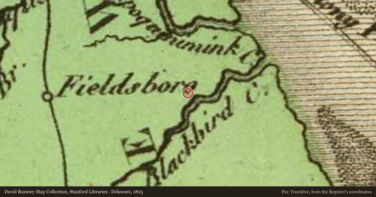
- 1825 · Delaware. (David Rumsey Map Collection, Stanford Libraries)
- 1931 · Smyrna, Delaware (USGS Historical Topographic Map Collection)
Nearby on the Register
- Reedy Island Range Rear LightStructureunder 1 mi
- Johnson Home FarmBuildingunder 1 mi
- Huguenot HouseBuilding2 mi
- Hart HouseBuilding2 mi
Other National Register listings within about three miles of this one, by straight line.
Historical markers nearby
- Taylor’s Bridge School (District No. 66)under 1 mi
Historical markers within about three miles of this listing, by straight line.