National Register of Historic Places
House at 901 Mt. Lebanon Rd.
Rockland vicinity, New Castle County, Delaware
The record
- Listed
- March 28, 2017
- Type
- Building
- Address
- 901 Mt. Lebanon Rd., Rockland vicinity
- County
- New Castle
- State
- Delaware
- Contributing resources
- 1 building, 2 structuresbuildings, sites and structures that add to its history
- Coordinates
- 39.79853, -75.57029
- Reference number
- 100000656
Slide toward Today to fade the historical sheet and see the modern map underneath.
David Rumsey Map Collection, Stanford LibrariesDelaware Archives, National Archives and Agricultural Stabilization and Conservation Service, via Delaware FirstMapDavid Rumsey Map Collection, Stanford LibrariesDavid Rumsey Map Collection, Stanford LibrariesDavid Rumsey Map Collection, Stanford Libraries
Historical maps covering this location
- 1795 · Delaware. (David Rumsey Map Collection, Stanford Libraries)
- 1796 · Delaware. (David Rumsey Map Collection, Stanford Libraries)
- 1814 · Delaware. (David Rumsey Map Collection, Stanford Libraries)
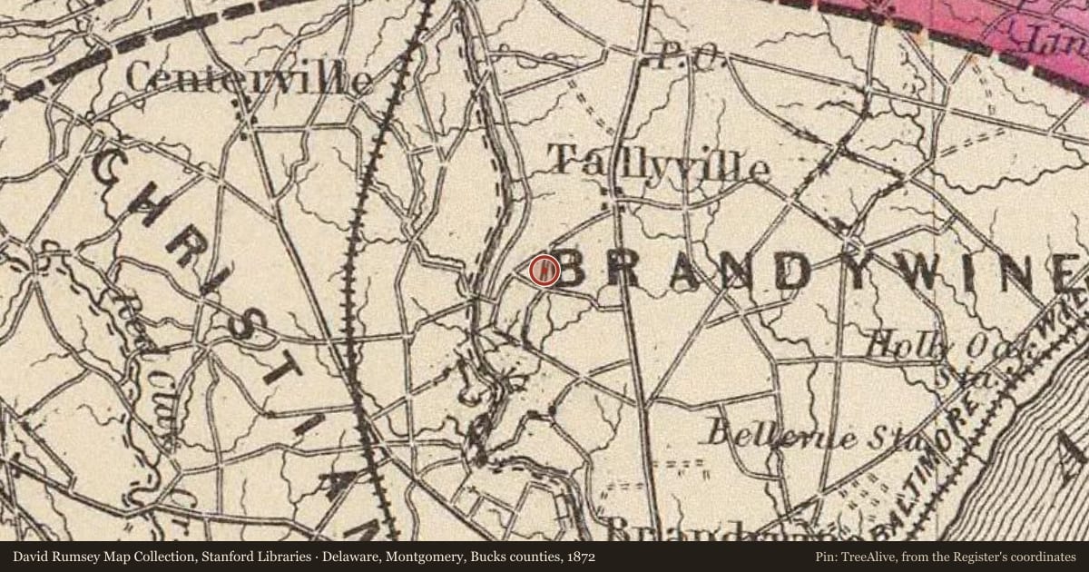
- 1872 · Delaware, Montgomery, Bucks counties. (David Rumsey Map Collection, Stanford Libraries)
- 1937 · Delaware aerial photographs, USDA flights of 1937-1938 (Delaware Archives, National Archives and Agricultural Stabilization and Conservation Service, via Delaware FirstMap)
Nearby on the Register
- Mount Lebanon Methodist Episcopal ChurchBuildingunder 1 mi
- Rockland Historic DistrictHistoric districtunder 1 mi
- William Young HouseBuildingunder 1 mi
- Strand Millas and Rock SpringBuildingunder 1 mi
Other National Register listings within about three miles of this one, by straight line.
Historical markers nearby
- Mount Lebanon United Methodist Churchunder 1 mi
- Rockland Mill Villageunder 1 mi
- Village of Montchanin1 mi
- Gunning Bedford, Jr.2 mi
Historical markers within about three miles of this listing, by straight line.