National Register of Historic Places
Joseph Chitwood House
Boise, Ada County, Idaho
The record
- Listed
- August 23, 2006
- Official Register name
- Chitwood, Joseph, House
- Type
- Building
- Address
- 1321 Denver St., Boise
- County
- Ada
- State
- Idaho
- Period of significance
- 1875 to 1924the years that made it historic
- Coordinates
- 43.59650, -116.19518
- Reference number
- 06000709
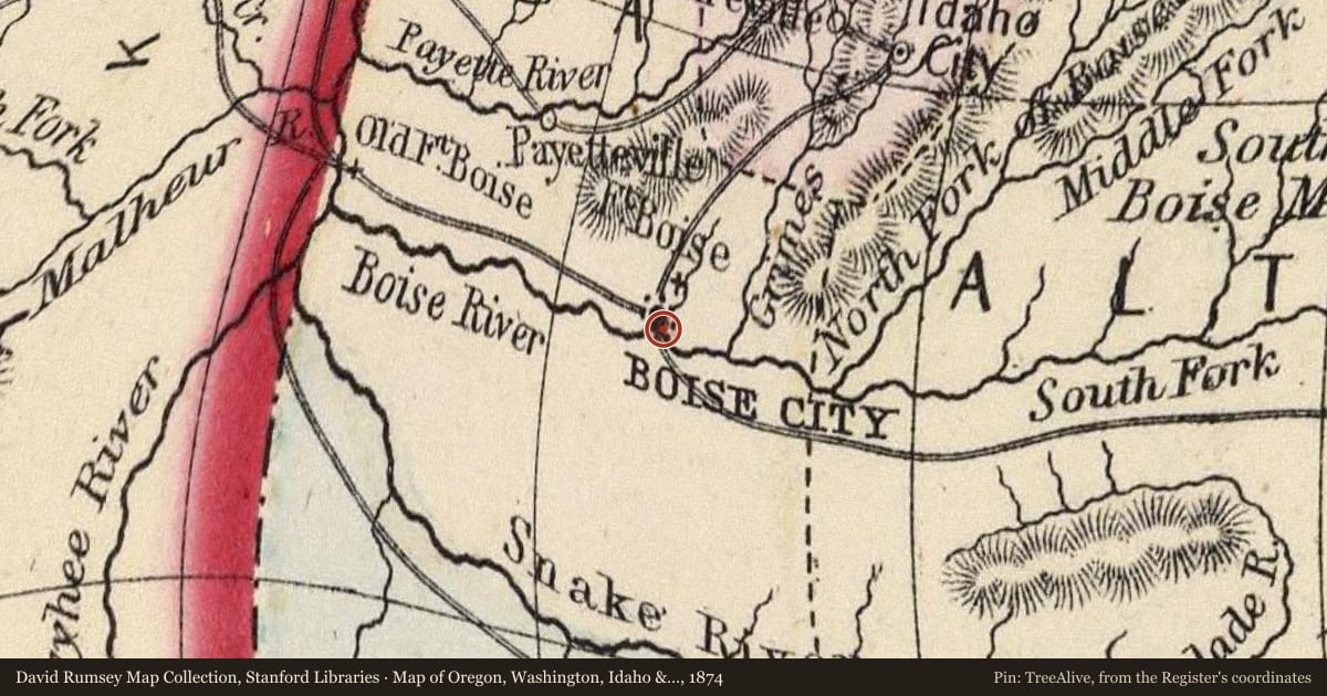
Slide toward Today to fade the historical sheet and see the modern map underneath.
David Rumsey Map Collection, Stanford LibrariesDavid Rumsey Map Collection, Stanford LibrariesDavid Rumsey Map Collection, Stanford LibrariesDavid Rumsey Map Collection, Stanford LibrariesDavid Rumsey Map Collection, Stanford LibrariesUSGS Historical Topographic Map Collection
Historical maps covering this location
- 1869 · Oregon and Washington Territory. (David Rumsey Map Collection, Stanford Libraries)
- 1870 · Ore., Wash., Idaho, Mont. (David Rumsey Map Collection, Stanford Libraries)
- 1874 · Map of Oregon, Washington, Idaho & Montana. (David Rumsey Map Collection, Stanford Libraries)
- 1875 · Idaho, Montana Western Portion. (David Rumsey Map Collection, Stanford Libraries)
- 1875 · Idaho. (David Rumsey Map Collection, Stanford Libraries)
- 1892 · Boise, Idaho (USGS Historical Topographic Map Collection)
Who held this land, and when? See it on the Atlas.
Nearby on the Register
- Rosedale Odd Fellows TempleBuildingunder 1 mi
- Hopffgarten HouseBuildingunder 1 mi
- Mrs. A. F. Rossi HouseBuildingunder 1 mi
- Christ ChapelBuildingunder 1 mi
Other National Register listings within about three miles of this one, by straight line.