National Register of Historic Places
Illinois Campground
Tahlequah vicinity, Cherokee County, Oklahoma
The record
- Listed
- December 6, 2004
- Type
- Site
- Address
- Cty Rd. DO775, Tahlequah vicinity
- County
- Cherokee
- State
- Oklahoma
- Period of significance
- 1825 to 1849the years that made it historic
- Contributing resources
- 1 sitebuildings, sites and structures that add to its history
- Coordinates
- 35.89530, -94.95945
- Reference number
- 04001330
Slide toward Today to fade the historical sheet and see the modern map underneath.
The outline is the area recorded for this listing in National Park Service map data, drawn approximately.
David Rumsey Map Collection, Stanford LibrariesBarry Lawrence Ruderman Map Collection, Stanford LibrariesDavid Rumsey Map Collection, Stanford LibrariesDavid Rumsey Map Collection, Stanford LibrariesDavid Rumsey Map Collection, Stanford LibrariesUSGS Historical Topographic Map Collection
Historical maps covering this location
- 1823 · Illinois & Missouri (H. S. Tanner, 1823) (Barry Lawrence Ruderman Map Collection, Stanford Libraries)
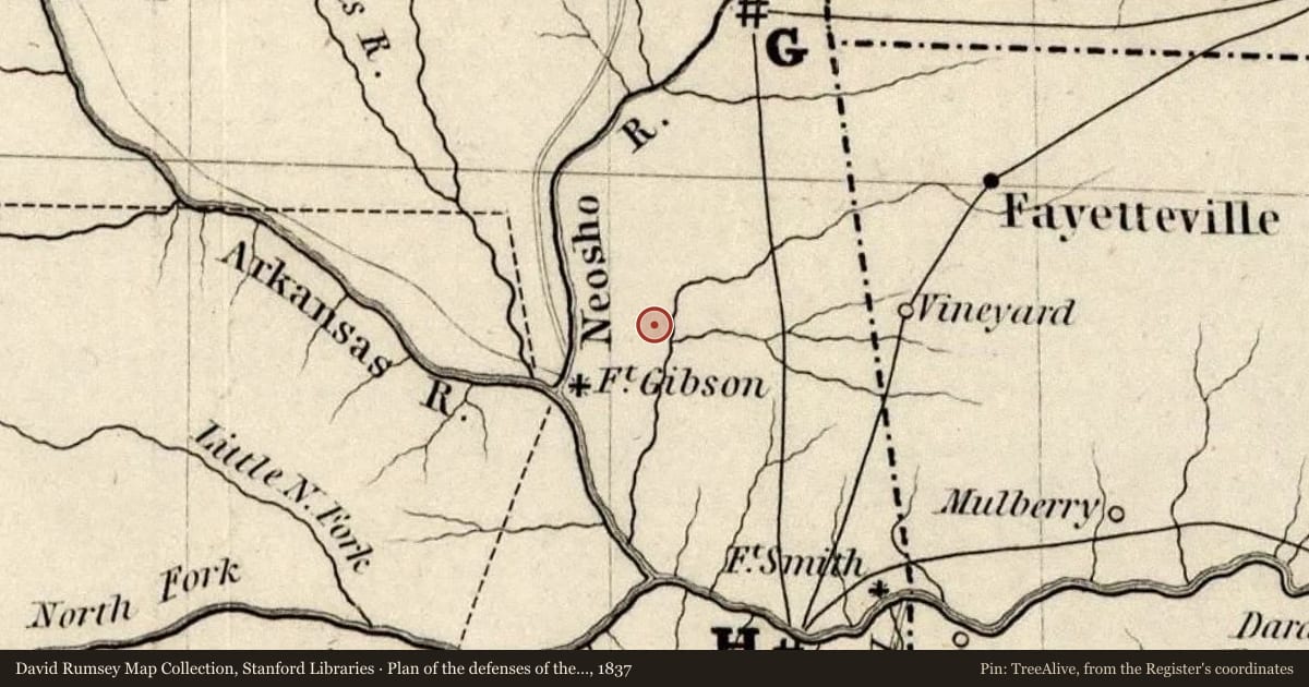
- 1837 · Plan of the defenses of the Western and North-Western Frontier (David Rumsey Map Collection, Stanford Libraries)
- 1873 · Indian Territory. (David Rumsey Map Collection, Stanford Libraries)
- 1876 · Indian Territory (David Rumsey Map Collection, Stanford Libraries)
- 1879 · Indian Territory. (David Rumsey Map Collection, Stanford Libraries)
- 1901 · Tahlequah, Arkansas (USGS Historical Topographic Map Collection)
The story
Written by AI from this property's National Register nomination and the record above; every sentence is checked against its sources before it appears here. Corrections: privacy@treealive.com
Illinois Campground is a site near Tahlequah, in Cherokee County, that served as a Cherokee camp; at the time of its listing it was an agricultural field.
What the Register recognized
It was listed under criterion A in 2004, with local significance in Native American ethnic heritage. Its period of significance is 1839, the year Capt. John Drew's detachment disbanded at the campground and the Cherokee National Convention met there.
Physical character
The 47.6-acre property is mostly open fields and pasture along Tahlequah Creek. An above-ground transmission line and an underground sewage pipeline, built in 1971, are the site's two noncontributing structures, next to its one contributing site.
Historical context
The forced removal of the Eastern Cherokee began in June 1838, and Drew's detachment left the Cherokee Agency that December and disbanded at the campground on March 18, 1839. The Cherokee National Convention met at the campground on July 1, 1839, and delegates signed the agreement forming the Cherokee Nation on July 12. The land stayed communal Cherokee property until the late 19th century, and it remained in cultivation and woodlands from 1839 onward. Ownership changed hands often in the 20th century; the City of Tahlequah held the eastern tract and Percy Nodine the western tract.
Criterion A means tied to important events; B, to an important person; C, to its design or construction; D, to what it can still teach us.
Nearby on the Register
- Cherokee National JailBuilding1 mi
- Cherokee Supreme Court BuildingBuilding1 mi
- American Legion HutBuilding1 mi
- Tahlequah ArmoryBuilding1 mi
Other National Register listings within about three miles of this one, by straight line.
Historical markers nearby
Historical markers within about three miles of this listing, by straight line.