National Register of Historic Places
Hoover Hotel
Whittier, Los Angeles County, California
The record
- Listed
- February 1, 2002
- Type
- Building
- Address
- 7035 Greenleaf Ave., Whittier
- County
- Los Angeles
- State
- California
- Period of significance
- 1925 to 1949the years that made it historic
- Contributing resources
- 1 buildingbuildings, sites and structures that add to its history
- Coordinates
- 33.97814, -118.03700
- Reference number
- 02000074
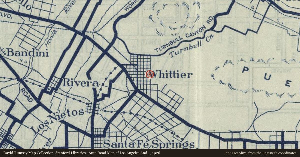
Slide toward Today to fade the historical sheet and see the modern map underneath.
David Rumsey Map Collection, Stanford LibrariesUSGS Historical Topographic Map CollectionDavid Rumsey Map Collection, Stanford LibrariesDavid Rumsey Map Collection, Stanford LibrariesUSGS Historical Topographic Map Collection
Historical maps covering this location
- 1912 · Lines of the Pacific Electric Railway in Southern California. (David Rumsey Map Collection, Stanford Libraries)
- 1923 · Whittier, California (USGS Historical Topographic Map Collection)
- 1925 · Whittier, California (USGS Historical Topographic Map Collection)
- 1926 · Auto Road Map of Los Angeles And Vicinity (David Rumsey Map Collection, Stanford Libraries)
- 1927 · Pacific Electric Railway In Southern California (David Rumsey Map Collection, Stanford Libraries)
Who held this land, and when? See it on the Atlas.
Nearby on the Register
- National Bank of Whittier BuildingBuildingunder 1 mi
- Standard Oil BuildingBuildingunder 1 mi
- Southern Pacific Railroad Depot, WhittierBuildingunder 1 mi
- Jonathan Bailey HouseBuildingunder 1 mi
Other National Register listings within about three miles of this one, by straight line.
Historical markers nearby
- Paradox Hybrid Walnut Treeunder 1 mi
- Grave of George Caralambo, "Greek George"under 1 mi
- Casa de Governor Pío Pico2 mi
Historical markers within about three miles of this listing, by straight line.