National Register of Historic Places
North Brookfield Town House
North Brookfield, Worcester County, Massachusetts
The record
- Listed
- October 28, 2001
- Type
- Building
- Address
- 185 N. Main St., North Brookfield
- County
- Worcester
- State
- Massachusetts
- Period of significance
- 1850 to 1974the years that made it historic
- Contributing resources
- 1 buildingbuildings, sites and structures that add to its history
- Coordinates
- 42.26867, -72.08531
- Reference number
- 01001185
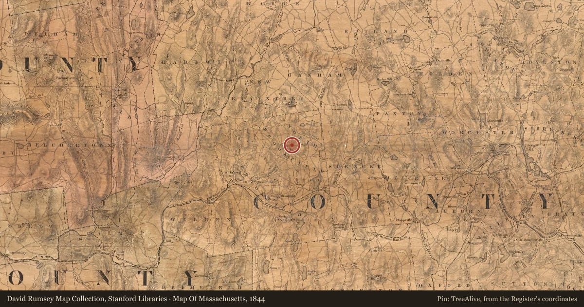
Slide toward Today to fade the historical sheet and see the modern map underneath.
David Rumsey Map Collection, Stanford LibrariesNorman B. Leventhal Map & Education Center at the Boston Public LibraryDavid Rumsey Map Collection, Stanford LibrariesBarry Lawrence Ruderman Map Collection, Stanford Libraries
Historical maps covering this location
- 1844 · Map Of Massachusetts (David Rumsey Map Collection, Stanford Libraries)
- 1849 · Connecticut (Tanner/Mitchell, 1849) (Barry Lawrence Ruderman Map Collection, Stanford Libraries)
- 1854 · Vermont, New Hampshire, Massachusetts, Connecticut u. Rhode Island. Maine. (David Rumsey Map Collection, Stanford Libraries)
- 1885 · Brookfield urban atlas (1885) (Norman B. Leventhal Map & Education Center at the Boston Public Library)
Nearby on the Register
Other National Register listings within about three miles of this one, by straight line.