National Register of Historic Places
Hygeia House
New Shoreham, Washington County, Rhode Island
The record
- Listed
- October 22, 2001
- Type
- Building
- Address
- Beach Ave., New Shoreham
- County
- Washington
- State
- Rhode Island
- Period of significance
- 1875 to 1974the years that made it historic
- Contributing resources
- 1 buildingbuildings, sites and structures that add to its history
- Coordinates
- 41.17798, -71.57124
- Reference number
- 01001156
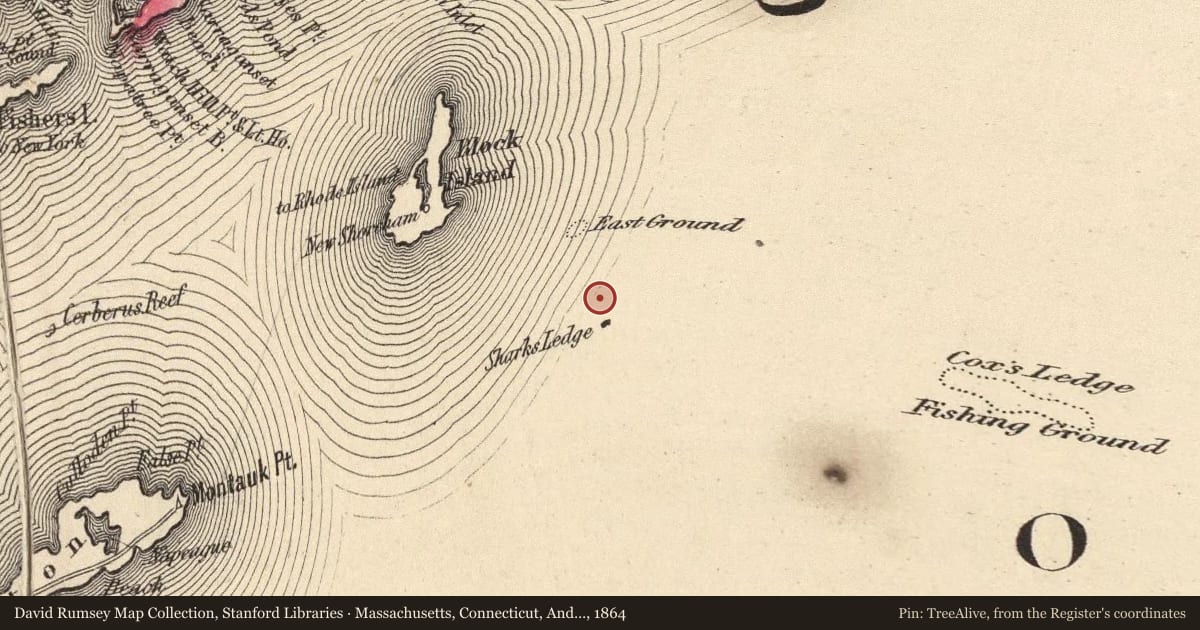
Slide toward Today to fade the historical sheet and see the modern map underneath.
David Rumsey Map Collection, Stanford LibrariesUSGS Historical Topographic Map CollectionDavid Rumsey Map Collection, Stanford LibrariesDavid Rumsey Map Collection, Stanford Libraries
Historical maps covering this location
- 1864 · Massachusetts, Connecticut, And Rhode Island. (David Rumsey Map Collection, Stanford Libraries)
- 1874 · County and township map of the states of Massachusetts, Connecticut and Rhode Island (David Rumsey Map Collection, Stanford Libraries)
- 1883 · Massachusetts, Rhode Island, and Connecticut. (David Rumsey Map Collection, Stanford Libraries)
- 1889 · Block Island, Rhode Island (USGS Historical Topographic Map Collection)
Nearby on the Register
- US Weather Bureau StationBuildingunder 1 mi
- Old Harbor Historic DistrictHistoric districtunder 1 mi
- Peleg Champlin HouseBuilding1 mi
- Block Island South East LightStructure2 mi
Other National Register listings within about three miles of this one, by straight line.
Historical markers nearby
- New Shoreham Tercentenary road markerunder 1 mi
Historical markers within about three miles of this listing, by straight line.