National Register of Historic Places
Mt. Zion Rosenwald School
Florence vicinity, Florence County, South Carolina
The record
- Listed
- October 12, 2001
- Type
- Building
- Address
- 5040 Liberty Chapel Rd., Florence vicinity
- County
- Florence
- State
- South Carolina
- Period of significance
- 1925 to 1974the years that made it historic
- Contributing resources
- 1 buildingbuildings, sites and structures that add to its history
- Coordinates
- 34.17944, -79.64279
- Reference number
- 01001098
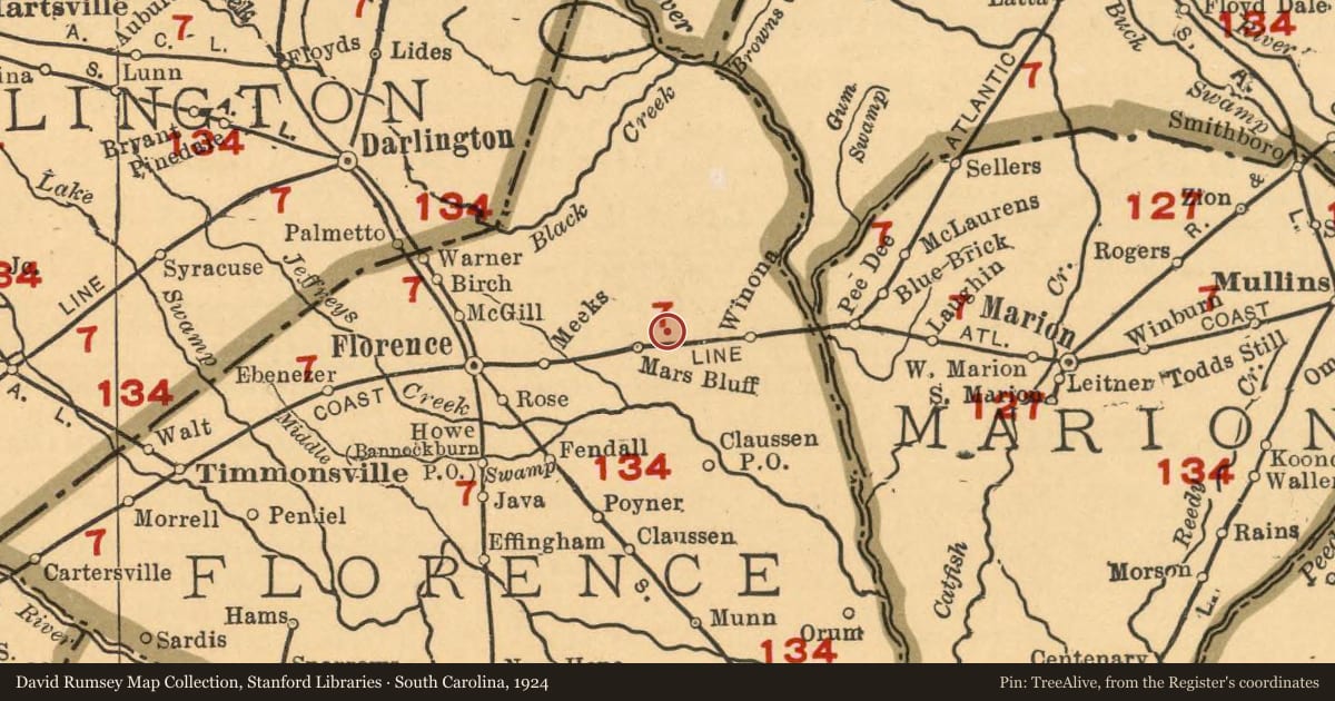
Slide toward Today to fade the historical sheet and see the modern map underneath.
The outline is the area recorded for this listing in National Park Service map data, drawn approximately.
David Rumsey Map Collection, Stanford LibrariesDavid Rumsey Map Collection, Stanford LibrariesDavid Rumsey Map Collection, Stanford LibrariesDavid Rumsey Map Collection, Stanford LibrariesDavid Rumsey Map Collection, Stanford LibrariesUSGS Historical Topographic Map Collection
Historical maps covering this location
- 1901 · Map of South Carolina (David Rumsey Map Collection, Stanford Libraries)
- 1901 · Map of North Carolina (David Rumsey Map Collection, Stanford Libraries)
- 1903 · South Carolina. (David Rumsey Map Collection, Stanford Libraries)
- 1924 · South Carolina. (David Rumsey Map Collection, Stanford Libraries)
- 1927 · N. & S. Carolina. (David Rumsey Map Collection, Stanford Libraries)
- 1940 · Florence East, South Carolina (USGS Historical Topographic Map Collection)
Who held this land, and when? See it on the Atlas.
Nearby on the Register
- Red DoeBuildingunder 1 mi
- Gregg-Wallace Farm Tenant HouseBuilding2 mi
Other National Register listings within about three miles of this one, by straight line.
Historical markers nearby
- Mt. Zion Methodist Churchunder 1 mi
- Mt. Zion Rosenwald Schoolunder 1 mi
- Red Doeunder 1 mi
- Mars Bluff Rice Growers1 mi
Historical markers within about three miles of this listing, by straight line.