National Register of Historic Places
Donald and Ruth McGraw House
Portland, Multnomah County, Oregon
The record
- Listed
- September 3, 2001
- Official Register name
- McGraw, Donald and Ruth, House
- Type
- Building
- Address
- 01845 SW Military Rd., Portland
- County
- Multnomah
- State
- Oregon
- Period of significance
- 1925 to 1949the years that made it historic
- Contributing resources
- 1 buildingbuildings, sites and structures that add to its history
- Coordinates
- 45.43944, -122.65983
- Reference number
- 01000935
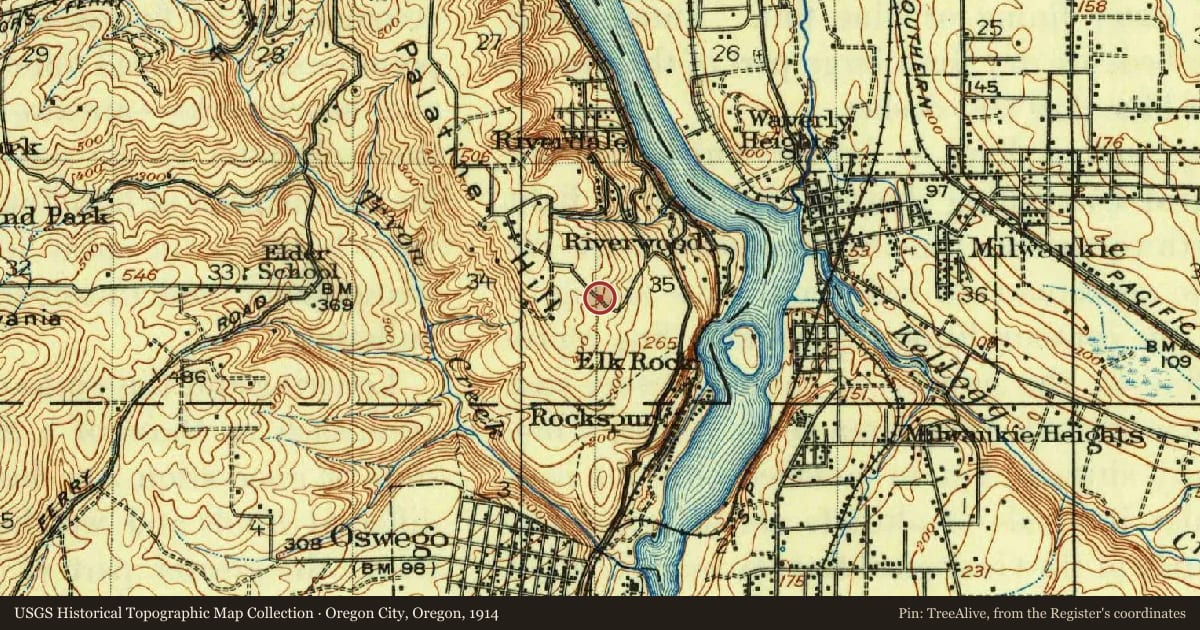
Slide toward Today to fade the historical sheet and see the modern map underneath.
USGS Historical Topographic Map CollectionUSGS Historical Topographic Map CollectionUSGS Historical Topographic Map CollectionDavid Rumsey Map Collection, Stanford LibrariesDavid Rumsey Map Collection, Stanford Libraries
Historical maps covering this location
- 1855 · Map of Oregon Territory West of Cascade Mountains (David Rumsey Map Collection, Stanford Libraries)
- 1860 · Map Showing the Routes travelled by the Command Of Majr. E. Steen (David Rumsey Map Collection, Stanford Libraries)
- 1914 · Oregon City, Oregon (USGS Historical Topographic Map Collection)
- 1939 · Oregon City, Oregon (USGS Historical Topographic Map Collection)
- 1941 · Oregon City, Oregon (USGS Historical Topographic Map Collection)
Nearby on the Register
- H. L. and Gretchen Hoyt Corbett HouseBuildingunder 1 mi
- Percy A. Smith HouseBuildingunder 1 mi
- Rae Selling Berry Garden and HouseSiteunder 1 mi
- John V. G. Posey HouseBuildingunder 1 mi
Other National Register listings within about three miles of this one, by straight line.