National Register of Historic Places
Ross Point School
Laurel vicinity, Sussex County, Delaware
The record
- Listed
- August 17, 2001
- Type
- Building
- Address
- CR 448 near Jct. with Rt. 62, Laurel vicinity
- County
- Sussex
- State
- Delaware
- Period of significance
- 1900 to 1974the years that made it historic
- Contributing resources
- 1 building, 1 objectbuildings, sites and structures that add to its history
- Coordinates
- 38.55648, -75.45385
- Reference number
- 01000886
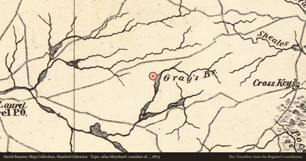
Slide toward Today to fade the historical sheet and see the modern map underneath.
USGS Historical Topographic Map CollectionDavid Rumsey Map Collection, Stanford LibrariesDavid Rumsey Map Collection, Stanford LibrariesDavid Rumsey Map Collection, Stanford LibrariesDavid Rumsey Map Collection, Stanford Libraries
Historical maps covering this location
- 1866 · Worcester. (David Rumsey Map Collection, Stanford Libraries)
- 1873 · Topo. atlas Maryland: counties of Dorchester, Wicomico, Somerset & Worcester. (David Rumsey Map Collection, Stanford Libraries)
- 1891 · (Virginia, N. Carolina) Railroad Map of the United States. (David Rumsey Map Collection, Stanford Libraries)
- 1903 · Maryland, Washington D.C., and Delaware. (David Rumsey Map Collection, Stanford Libraries)
- 1917 · Millsboro, Delaware (USGS Historical Topographic Map Collection)
Who held this land, and when? See it on the Atlas.
Nearby on the Register
Other National Register listings within about three miles of this one, by straight line.
Historical markers nearby
- Trinity Methodist Church (Laurel)under 1 mi
- Jason Beach2 mi
- Epworth Cemetery3 mi
Historical markers within about three miles of this listing, by straight line.