National Register of Historic Places
Newport and Cincinnati Bridge
Cincinnati, Hamilton County, Ohio
The record
- Listed
- April 17, 2001
- Type
- Structure
- Address
- Spans Ohio River, Cincinnati
- County
- Hamilton
- State
- Ohio
- Period of significance
- 1850 to 1974the years that made it historic
- Coordinates
- 39.09788, -84.49747
- Reference number
- 01000364
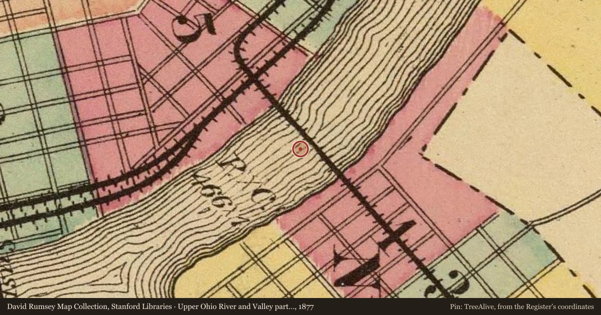
Slide toward Today to fade the historical sheet and see the modern map underneath.
David Rumsey Map Collection, Stanford LibrariesDigital Commonwealth, Boston Public LibraryDavid Rumsey Map Collection, Stanford LibrariesDavid Rumsey Map Collection, Stanford LibrariesDavid Rumsey Map Collection, Stanford Libraries
Historical maps covering this location
- 1850 · Map of Cincinnati, Covington & Newport (Digital Commonwealth, Boston Public Library)
- 1850 · State Of Ohio (David Rumsey Map Collection, Stanford Libraries)
- 1860 · Cincinnati, Newport and Covington (David Rumsey Map Collection, Stanford Libraries)
- 1869 · Mill Creek. (David Rumsey Map Collection, Stanford Libraries)
- 1877 · Upper Ohio River and Valley part XXVI, 452 to 467 miles below Pittsburgh, from Cincinnati… (David Rumsey Map Collection, Stanford Libraries)
Nearby on the Register
- MAJESTICStructureunder 1 mi
- Police Station No. 2Buildingunder 1 mi
- SHOWBOAT MAJESTICStructureunder 1 mi
- Taft MuseumBuildingunder 1 mi
Other National Register listings within about three miles of this one, by straight line.
Historical markers nearby
- Cincinnati’s German Heritageunder 1 mi
- 1749 French Claims to Ohio River Valleyunder 1 mi
- The Irish in Cincinnatiunder 1 mi
- The Sultanaunder 1 mi
Historical markers within about three miles of this listing, by straight line.