National Register of Historic Places
Charter Oak Mine and Mill
Elliston vicinity, Powell County, Montana
The record
- Listed
- February 6, 2001
- Type
- Historic district
- Address
- Forest Rd. 227 B-1, Helena National Forest, USDA Forest Service, Elliston vicinity
- County
- Powell
- State
- Montana
- Period of significance
- 1900 to 1974the years that made it historic
- Contributing resources
- 8 buildings, 4 structures, 5 sitesbuildings, sites and structures that add to its history
- Coordinates
- 46.48956, -112.41834
- Reference number
- 01000038
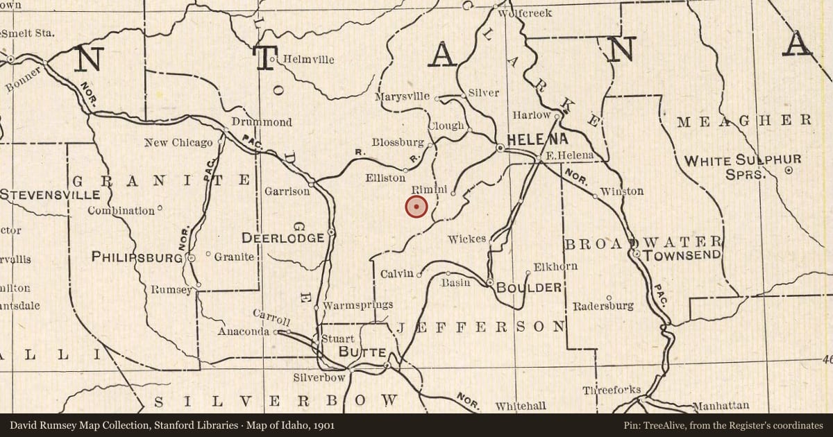
Slide toward Today to fade the historical sheet and see the modern map underneath.
The outline is the area recorded for this listing in National Park Service map data, drawn approximately.
USGS Historical Topographic Map CollectionUSGS Historical Topographic Map CollectionUSGS Historical Topographic Map CollectionUSGS Historical Topographic Map CollectionDavid Rumsey Map Collection, Stanford Libraries
Historical maps covering this location
- 1889 · Helena, Montana (USGS Historical Topographic Map Collection)
- 1893 · Helena, Montana (USGS Historical Topographic Map Collection)
- 1899 · Boulder, Montana (USGS Historical Topographic Map Collection)
- 1899 · Helena, Montana (USGS Historical Topographic Map Collection)
- 1901 · Map of Idaho (David Rumsey Map Collection, Stanford Libraries)
Who held this land, and when? See it on the Atlas.
See your own family's places on a living map