National Register of Historic Places
Pawnee Agency and Boarding School Historic District
Pawnee, Pawnee County, Oklahoma
The record
- Listed
- December 28, 2000
- Type
- Historic district
- Address
- Pawnee Tribal Reserve, E of Pawnee, roughly bounded by Morris Rd., following Harrison St. and Agency Rd., Pawnee
- County
- Pawnee
- State
- Oklahoma
- Period of significance
- 1875 to 1974the years that made it historic
- Contributing resources
- 13 buildings, 7 structuresbuildings, sites and structures that add to its history
- Coordinates
- 36.33656, -96.79091
- Reference number
- 00001577
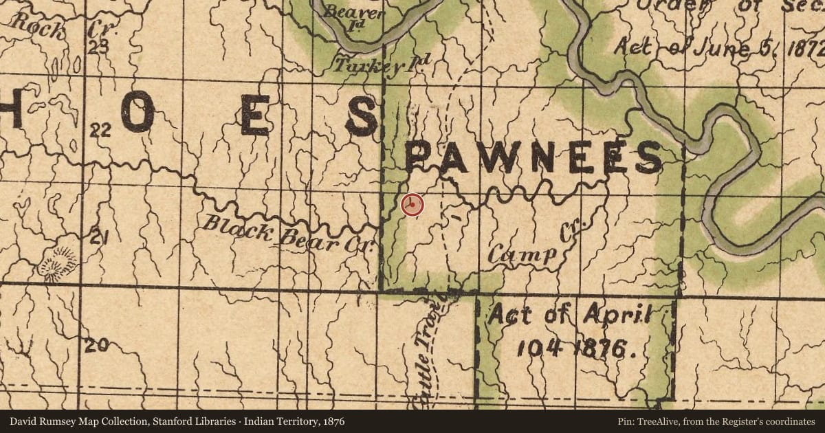
Slide toward Today to fade the historical sheet and see the modern map underneath.
The outline is the area recorded for this listing in National Park Service map data, drawn approximately.
David Rumsey Map Collection, Stanford LibrariesDavid Rumsey Map Collection, Stanford LibrariesDavid Rumsey Map Collection, Stanford LibrariesDavid Rumsey Map Collection, Stanford LibrariesDavid Rumsey Map Collection, Stanford LibrariesUSGS Historical Topographic Map Collection
Historical maps covering this location
- 1873 · Indian Territory. (David Rumsey Map Collection, Stanford Libraries)
- 1875 · Map of the States of Kansas and Texas and Indian Territory (David Rumsey Map Collection, Stanford Libraries)
- 1876 · Indian Territory (David Rumsey Map Collection, Stanford Libraries)
- 1879 · Indian Territory. (David Rumsey Map Collection, Stanford Libraries)
- 1884 · Indian Territory. (David Rumsey Map Collection, Stanford Libraries)
- 1930 · Pawnee, Oklahoma (USGS Historical Topographic Map Collection)
Nearby on the Register
- Pawnee Indian AgencyBuildingunder 1 mi
- Pawnee ArmoryBuildingunder 1 mi
- Pawnee County CourthouseBuildingunder 1 mi
- Arkansas Valley National BankBuildingunder 1 mi
Other National Register listings within about three miles of this one, by straight line.
Historical markers nearby
- Pawnee Agency2 mi
Historical markers within about three miles of this listing, by straight line.