National Register of Historic Places
Isaac Winslow House
Marshfield, Plymouth County, Massachusetts
The record
- Listed
- August 15, 2000
- Official Register name
- Winslow, Isaac, House
- Type
- Building
- Address
- 634 Careswell St., Marshfield
- County
- Plymouth
- State
- Massachusetts
- Period of significance
- 1700 to 1949the years that made it historic
- Contributing resources
- 2 buildingsbuildings, sites and structures that add to its history
- Coordinates
- 42.08064, -70.67315
- Reference number
- 00000872
Slide toward Today to fade the historical sheet and see the modern map underneath.
The outline is the area recorded for this listing in National Park Service map data, drawn approximately.
David Rumsey Map Collection, Stanford LibrariesDavid Rumsey Map Collection, Stanford LibrariesDavid Rumsey Map Collection, Stanford LibrariesUSGS Historical Topographic Map Collection
Historical maps covering this location
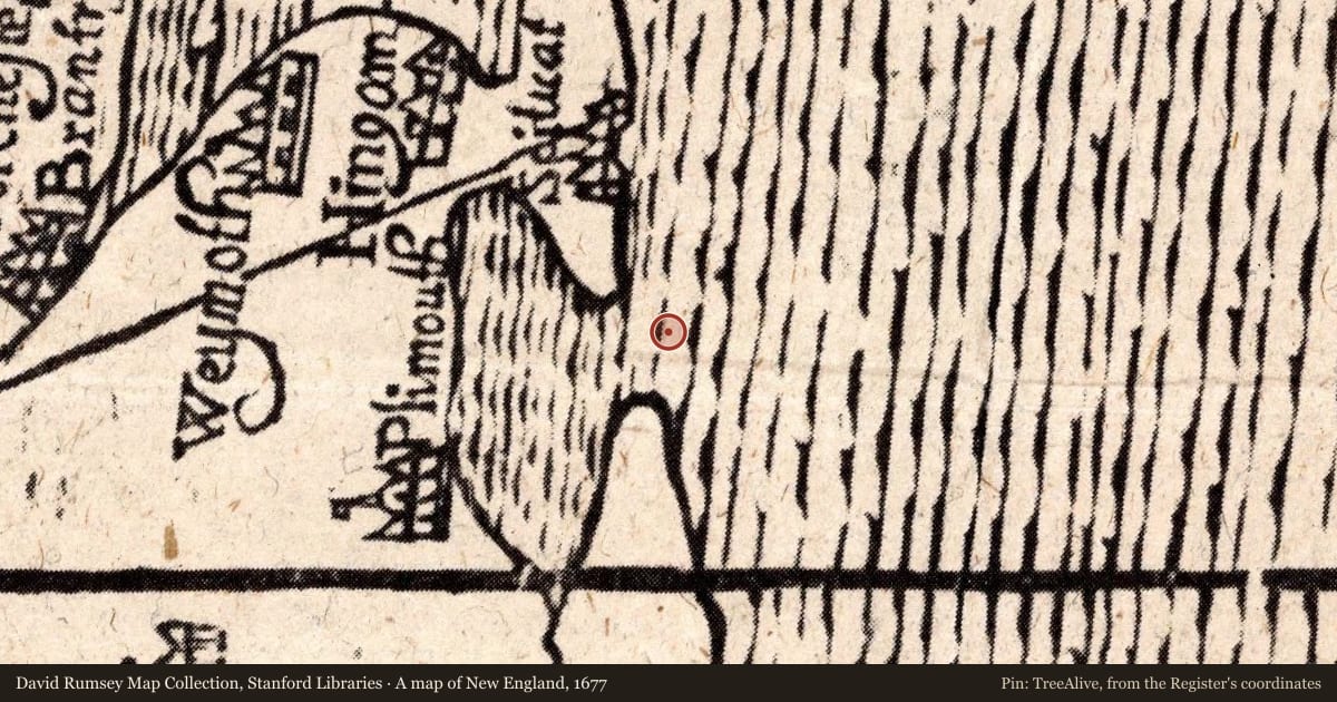
- 1677 · A map of New England (David Rumsey Map Collection, Stanford Libraries)
- 1740 · 43. Novi Belgii, in America Septentrionali. (David Rumsey Map Collection, Stanford Libraries)
- 1794 · Massachusetts. (David Rumsey Map Collection, Stanford Libraries)
- 1941 · Duxbury, Massachusetts (USGS Historical Topographic Map Collection)
Nearby on the Register
- Thomas-Webster EstateBuildingunder 1 mi
- Winslow CemeterySiteunder 1 mi
- Webster, Daniel, Law Office and LibraryBuildingunder 1 mi
- Pillsbury Summer HouseBuilding2 mi
Other National Register listings within about three miles of this one, by straight line.
Historical markers nearby
- Marshfield2 mi
- Old Marshfield Training Field2 mi
- Marshfield2 mi
- Marshfield3 mi
Historical markers within about three miles of this listing, by straight line.