National Register of Historic Places
Hess, Harold, Lustron House
Closter Borough, Bergen County, New Jersey
The record
- Listed
- July 25, 2000
- Type
- Building
- Address
- 421 Durie Ave., Closter Borough
- County
- Bergen
- State
- New Jersey
- Period of significance
- 1950 to 1974the years that made it historic
- Contributing resources
- 2 buildingsbuildings, sites and structures that add to its history
- Coordinates
- 40.97092, -73.96680
- Reference number
- 00000796
Slide toward Today to fade the historical sheet and see the modern map underneath.
USGS Historical Topographic Map CollectionDavid Rumsey Map Collection, Stanford LibrariesDavid Rumsey Map Collection, Stanford LibrariesUniversity Library, Vrije Universiteit AmsterdamDavid Rumsey Map Collection, Stanford Libraries
Historical maps covering this location
- 1888 · 7 NE red sandstone. (David Rumsey Map Collection, Stanford Libraries)
- 1901 · New York City and vicinity / H.M. Wilson, geographer in charge ; triangulation by U.S… (University Library, Vrije Universiteit Amsterdam)
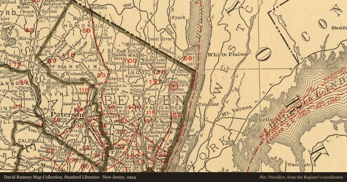
- 1924 · New Jersey. (David Rumsey Map Collection, Stanford Libraries)
- 1924 · New York-Philadelphia District. (David Rumsey Map Collection, Stanford Libraries)
- 1947 · Yonkers, New Jersey (USGS Historical Topographic Map Collection)
Who held this land, and when? See it on the Atlas.
Nearby on the Register
- Vervalen HouseBuildingunder 1 mi
- Bogert HouseBuildingunder 1 mi
- Tallman-Vanderbeck HouseBuildingunder 1 mi
- John Meyerhoff HouseBuildingunder 1 mi
Other National Register listings within about three miles of this one, by straight line.