National Register of Historic Places
Wythe County Poorhouse Farm
Wytheville, Wythe County, Virginia
The record
- Listed
- May 26, 2000
- Type
- Building
- Address
- VA 2, Peppers Ferry Rd., Wytheville
- County
- Wythe
- State
- Virginia
- Period of significance
- 1850 to 1949the years that made it historic
- Contributing resources
- 14 buildingsbuildings, sites and structures that add to its history
- Coordinates
- 36.98182, -81.02812
- Reference number
- 00000557
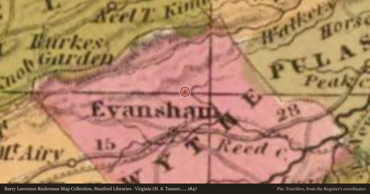
Slide toward Today to fade the historical sheet and see the modern map underneath.
Barry Lawrence Ruderman Map Collection, Stanford LibrariesUSGS Historical Topographic Map CollectionBarry Lawrence Ruderman Map Collection, Stanford LibrariesBarry Lawrence Ruderman Map Collection, Stanford LibrariesBarry Lawrence Ruderman Map Collection, Stanford Libraries
Historical maps covering this location
- 1844 · Kentucky (H. S. Tanner, 1844) (Barry Lawrence Ruderman Map Collection, Stanford Libraries)
- 1846 · Virginia (H. S. Tanner, 1846) (Barry Lawrence Ruderman Map Collection, Stanford Libraries)
- 1847 · Virginia (H. S. Tanner, 1847) (Barry Lawrence Ruderman Map Collection, Stanford Libraries)
- 1859 · Virginia (Herman Boye, 1859) (Barry Lawrence Ruderman Map Collection, Stanford Libraries)
- 1892 · Wytheville, Virginia (USGS Historical Topographic Map Collection)
Who held this land, and when? See it on the Atlas.
Historical markers nearby
- Wythe County Poorhouse Farmunder 1 mi
- Walter Crockett3 mi
Historical markers within about three miles of this listing, by straight line.