National Register of Historic Places
Decatur O. Davis House
Richmond (Independent City), Virginia
The record
- Listed
- May 11, 2000
- Official Register name
- Davis, Decatur O., House
- Type
- Building
- Address
- 1001 E. Clay St., Richmond (Independent City)
- Independent city
- Richmond
- State
- Virginia
- Period of significance
- 1875 to 1924the years that made it historic
- Contributing resources
- 1 buildingbuildings, sites and structures that add to its history
- Coordinates
- 37.54201, -77.43140
- Reference number
- 00000490
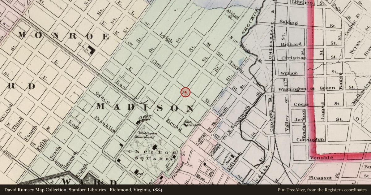
Slide toward Today to fade the historical sheet and see the modern map underneath.
David Rumsey Map Collection, Stanford LibrariesDavid Rumsey Map Collection, Stanford LibrariesDavid Rumsey Map Collection, Stanford LibrariesDavid Rumsey Map Collection, Stanford Libraries
Historical maps covering this location
- 1864 · Hughes Military Map Of Richmond & Petersburgh, Va. (David Rumsey Map Collection, Stanford Libraries)
- 1884 · Richmond, Virginia. (David Rumsey Map Collection, Stanford Libraries)
- 1889 · Virginia and West Virginia (eastern portion). (David Rumsey Map Collection, Stanford Libraries)
- 1891 · (Virginia, N. Carolina) Railroad Map of the United States. (David Rumsey Map Collection, Stanford Libraries)
Nearby on the Register
- Benjamin Watkins Leigh HouseBuildingunder 1 mi
- William H. Grant HouseBuildingunder 1 mi
- Valentine MuseumBuildingunder 1 mi
- Putney HousesBuildingunder 1 mi
Other National Register listings within about three miles of this one, by straight line.
Historical markers nearby
- The Valentine Museumunder 1 mi
- Grant House/Sheltering Arms Hospitalunder 1 mi
- Wickham-Valentine Houseunder 1 mi
- White House of the Confederacyunder 1 mi
Historical markers within about three miles of this listing, by straight line.