National Register of Historic Places
Fairview Cemetery
Dalton, Berkshire County, Massachusetts
The record
- Listed
- May 11, 2000
- Type
- Site
- Address
- Curtis Ave., Dalton
- County
- Berkshire
- State
- Massachusetts
- Period of significance
- 1875 to 1949the years that made it historic
- Contributing resources
- 1 structure, 1 sitebuildings, sites and structures that add to its history
- Coordinates
- 42.47701, -73.17193
- Reference number
- 00000483
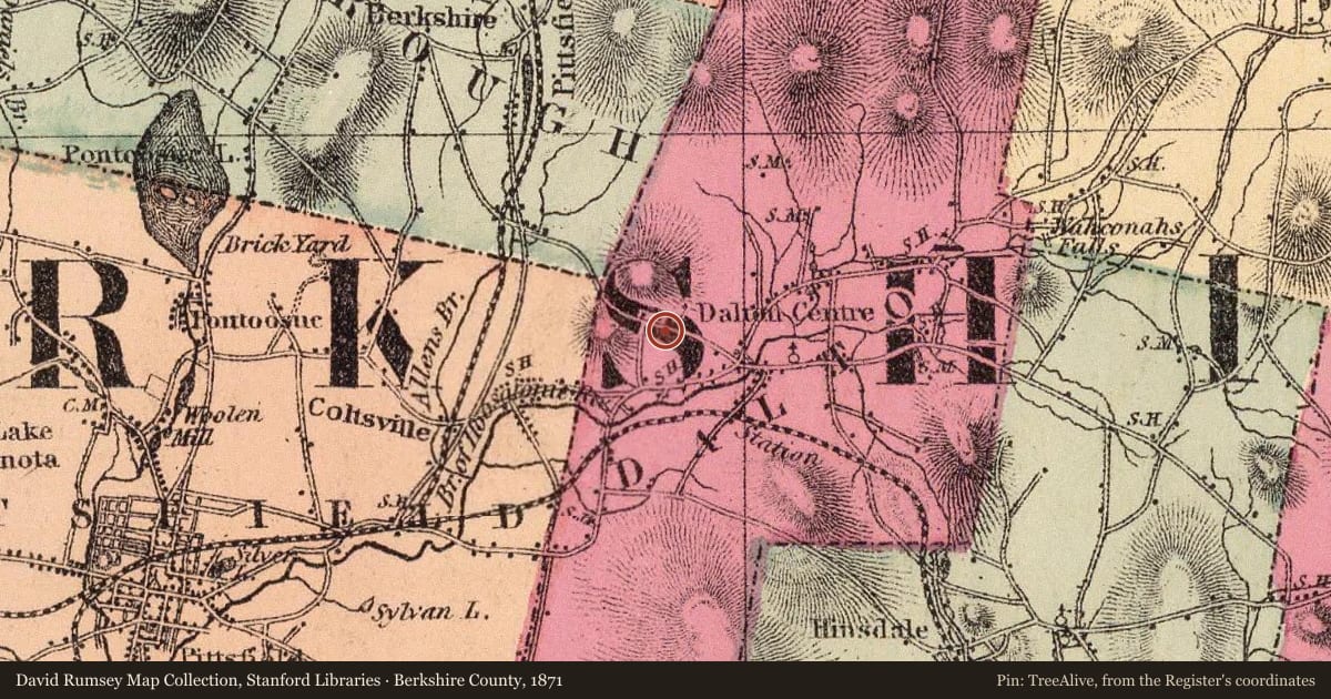
Slide toward Today to fade the historical sheet and see the modern map underneath.
The outline is the area recorded for this listing in National Park Service map data, drawn approximately.
David Rumsey Map Collection, Stanford LibrariesUSGS Historical Topographic Map CollectionDavid Rumsey Map Collection, Stanford LibrariesDavid Rumsey Map Collection, Stanford LibrariesDigital Commonwealth, Boston Public Library
Historical maps covering this location
- 1871 · Berkshire County. (David Rumsey Map Collection, Stanford Libraries)
- 1874 · County and township map of the states of Massachusetts, Connecticut and Rhode Island (David Rumsey Map Collection, Stanford Libraries)
- 1886 · Becket, Massachusetts (USGS Historical Topographic Map Collection)
- 1899 · Map of the electric railways of the state of Massachusetts (Digital Commonwealth, Boston Public Library)
- 1905 · Sheet 1. Scarborough's Complete Road Atlas of Massachusetts and Rhode Island. (David Rumsey Map Collection, Stanford Libraries)
Nearby on the Register
- Main Street CemeterySiteunder 1 mi
- Fitch-Hoose HouseBuildingunder 1 mi
- Cranesville Historic DistrictHistoric districtunder 1 mi
- Crane and Company Old Stone Mill Rag RoomBuildingunder 1 mi
Other National Register listings within about three miles of this one, by straight line.