National Register of Historic Places
United States Post Office and Courthouse
Tulsa, Tulsa County, Oklahoma
The record
- Listed
- March 24, 2000
- Type
- Building
- Address
- 224 S. Boulder Ave., Tulsa
- County
- Tulsa
- State
- Oklahoma
- Period of significance
- 1900 to 1949the years that made it historic
- Contributing resources
- 1 buildingbuildings, sites and structures that add to its history
- Coordinates
- 36.15338, -95.99280
- Reference number
- 00000244
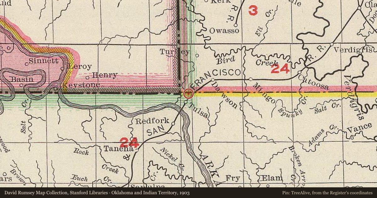
Slide toward Today to fade the historical sheet and see the modern map underneath.
David Rumsey Map Collection, Stanford LibrariesUSGS Historical Topographic Map CollectionUniversity Library, Vrije Universiteit AmsterdamDavid Rumsey Map Collection, Stanford LibrariesDavid Rumsey Map Collection, Stanford Libraries
Historical maps covering this location
- 1884 · Indian Territory. (David Rumsey Map Collection, Stanford Libraries)
- 1886 · Indian Territory. (David Rumsey Map Collection, Stanford Libraries)
- 1901 · Claremore, Indian Territory (USGS Historical Topographic Map Collection)
- 1902 · Indian Territory : [Oklahoma] / surveyed under the dir. of Charles H. Fitch (University Library, Vrije Universiteit Amsterdam)
- 1903 · Oklahoma and Indian Territory. (David Rumsey Map Collection, Stanford Libraries)
Who held this land, and when? See it on the Atlas.
Nearby on the Register
- Mayo BuildingBuildingunder 1 mi
- Oil Capital Historic DistrictHistoric districtunder 1 mi
- Mayo Motor InnBuildingunder 1 mi
- Mayo HotelBuildingunder 1 mi
Other National Register listings within about three miles of this one, by straight line.
Historical markers nearby
- Booker T. Washington High Schoolunder 1 mi
- Mt. Zion Baptist Churchunder 1 mi
- First Hospital, Tulsa Countyunder 1 mi
- Indian Memorialunder 1 mi
Historical markers within about three miles of this listing, by straight line.