National Register of Historic Places
James Blair Junior High School
Norfolk (Independent City) vicinity, Virginia
The record
- Listed
- February 4, 2000
- Type
- Building
- Address
- 730 Spotswood Ave., Norfolk (Independent City) vicinity
- Independent city
- Norfolk
- State
- Virginia
- Period of significance
- 1900 to 1924the years that made it historic
- Contributing resources
- 1 buildingbuildings, sites and structures that add to its history
- Coordinates
- 36.86831, -76.29659
- Reference number
- 00000068
Slide toward Today to fade the historical sheet and see the modern map underneath.
David Rumsey Map Collection, Stanford LibrariesUSGS Historical Topographic Map CollectionUSGS Historical Topographic Map CollectionDavid Rumsey Map Collection, Stanford LibrariesDigital Commonwealth, Boston Public Library
Historical maps covering this location
- 1862 · Map of the battle ground near Richmond, showing plainly, every point of interest of the… (Digital Commonwealth, Boston Public Library)
- 1889 · Virginia and West Virginia (eastern portion). (David Rumsey Map Collection, Stanford Libraries)
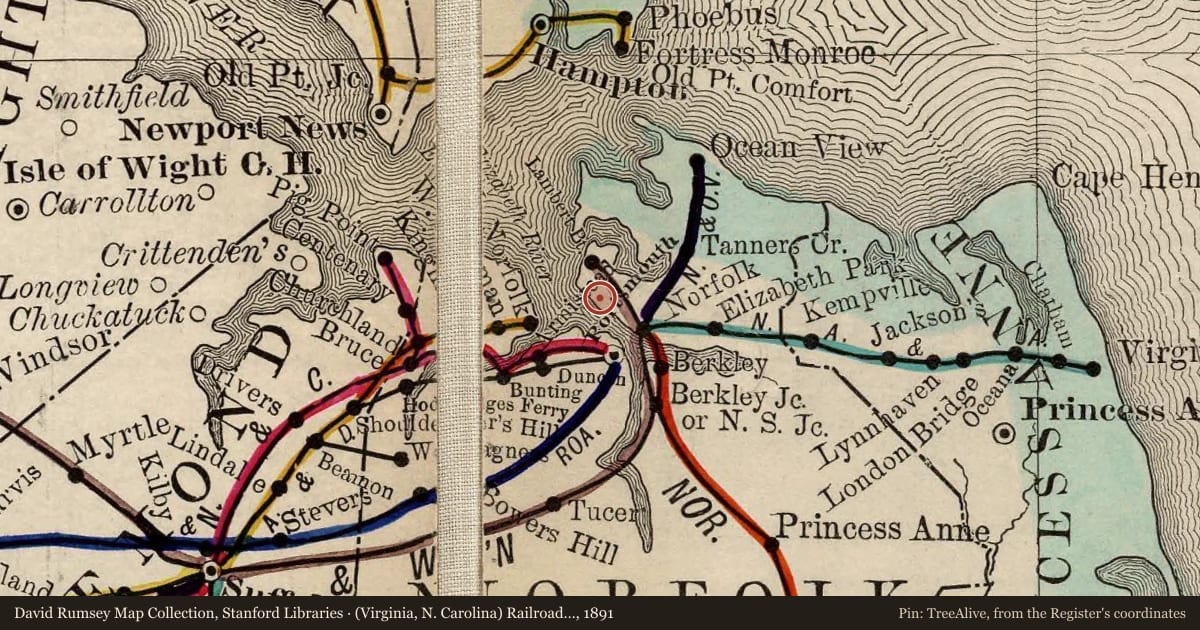
- 1891 · (Virginia, N. Carolina) Railroad Map of the United States. (David Rumsey Map Collection, Stanford Libraries)
- 1907 · Norfolk, Virginia (USGS Historical Topographic Map Collection)
- 1921 · Newport News, Virginia (USGS Historical Topographic Map Collection)
Nearby on the Register
- North GhentHistoric districtunder 1 mi
- Christ and St. Luke's ChurchBuildingunder 1 mi
- Park Place Historic DistrictHistoric districtunder 1 mi
- Southern Bagging CompanyBuildingunder 1 mi
Other National Register listings within about three miles of this one, by straight line.
Historical markers nearby
- War of 1812 Elizabeth River Defensesunder 1 mi
- West Point Cemeteryunder 1 mi
- Elmwood Cemeteryunder 1 mi
- Ella J. Baker (1903 - 1986)1 mi
Historical markers within about three miles of this listing, by straight line.