Bristol Iron Works
Bristol Iron Works is a Virginia historical marker in Westmoreland County, dedicated 1935.
Get directions ↗Start a road tripHistorical trails
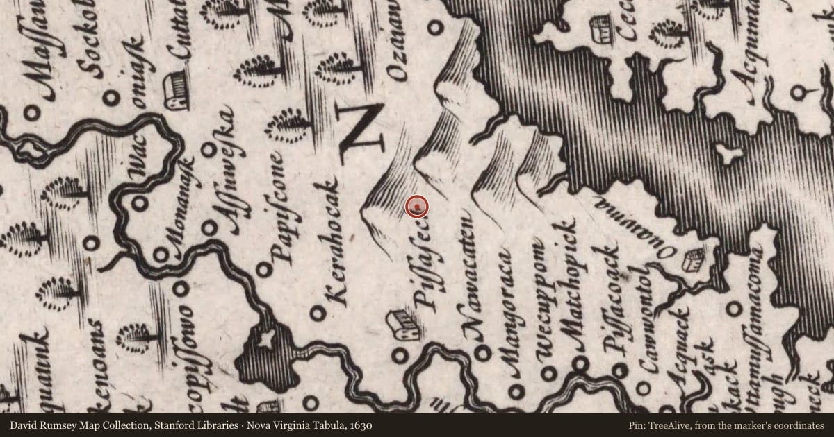
Maps this old were drawn largely by eye, so places on them can sit miles from where they really are. The pin is ours and marks the marker's location today.Maps this old were drawn largely by eye, so places on them can sit miles from where they really are. The pin is ours and marks the marker's location today.
Slide toward Today to fade the historical sheet and see the modern map underneath.
David Rumsey Map Collection, Stanford LibrariesJohn Carter Brown Library, Brown UniversityDavid Rumsey Map Collection, Stanford LibrariesDavid Rumsey Map Collection, Stanford LibrariesUSGS Historical Topographic Map Collection
Historical maps covering this location
- 1630 · Nova Virginia Tabula. (David Rumsey Map Collection, Stanford Libraries)
- 1670 · Virginia and Maryland As it is planted and Inhabited this present Year 1670 ... (John Carter Brown Library, Brown University)
- 1671 · Noua Terrae-Mariae tabula. (David Rumsey Map Collection, Stanford Libraries)
- 1708 · Carte Particuliere de Virginie, Maryland, Pennsilvanie. (David Rumsey Map Collection, Stanford Libraries)
- 1942 · Rollins Fork, Virginia (USGS Historical Topographic Map Collection)
For example, one family's tree showed the Articles of Confederation marker in Pennsylvania standing under a mile from where William Gabby lived in the 1760s.
What that marker records spans 1777 to 1789, overlapping William Gabby's years there.
Upload your family tree and TreeAlive finds the markers near where your own ancestors lived.
See your family's markersStart with a tree file, a FamilySearch sign in, or a WikiTree ID.
Report a problem with this page
At the marker right now? You can send us the spot you're standing on.
We may pass what you report to the state's marker program. Please don't include personal details.
Marker program managed by the Virginia Department of Historic Resources.