Victoria Memorial Museum
Victoria Memorial Museum is a National Historic Site of Canada in Ottawa, Ontario.
Directions to the area ↗Start a road tripHistorical trails
Français
Slide toward Today to fade the historical sheet and see the modern map underneath.
McGill University Library / Internet ArchiveDigital Commonwealth, Boston Public LibraryBarry Lawrence Ruderman Map Collection, Stanford LibrariesBarry Lawrence Ruderman Map Collection, Stanford LibrariesBarry Lawrence Ruderman Map Collection, Stanford Libraries
Historical maps covering this location
- 1826 · New York (1826) (Barry Lawrence Ruderman Map Collection, Stanford Libraries)
- 1858 · Colton's New York (1858) (Barry Lawrence Ruderman Map Collection, Stanford Libraries)
- 1859 · Colton's New York (1859) (Barry Lawrence Ruderman Map Collection, Stanford Libraries)
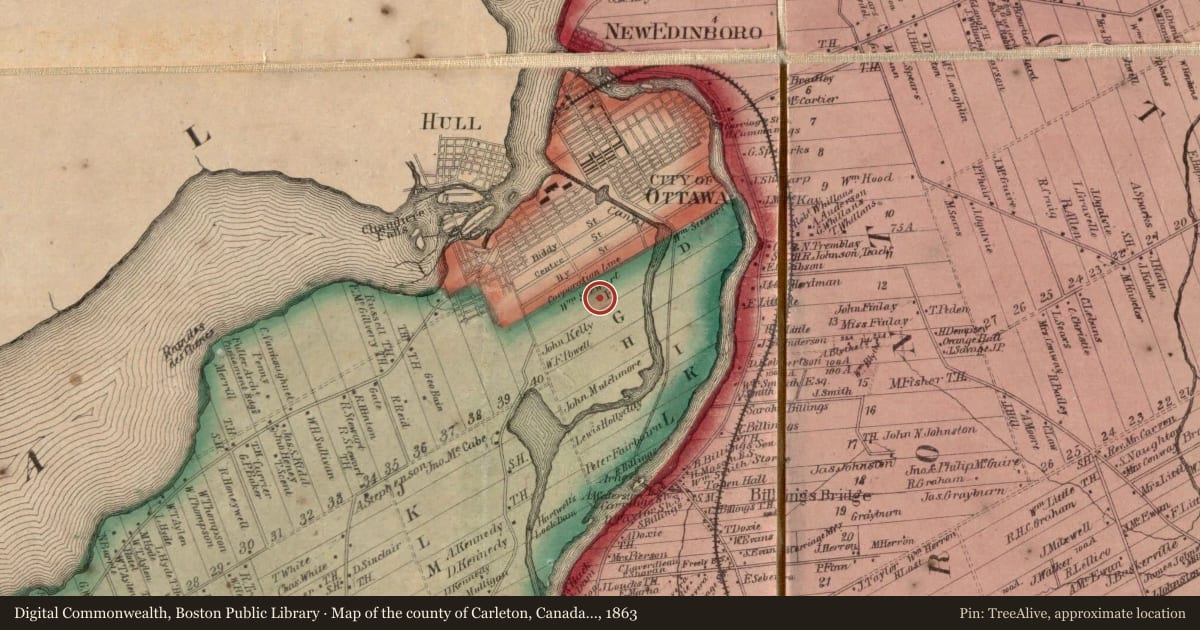
- 1863 · Map of the county of Carleton, Canada West (Digital Commonwealth, Boston Public Library)
- 1879 · Illustrated Historical Atlas of the County of Carleton (H. Belden & Co., 1879) (McGill University Library / Internet Archive)
Who held this land, and when? See it on the Atlas.
For example, one family's tree showed the Articles of Confederation marker in Pennsylvania standing under a mile from where William Gabby lived in the 1760s.
What that marker records spans 1777 to 1789, overlapping William Gabby's years there.
Upload your family tree and TreeAlive finds the markers near where your own ancestors lived.
See your family's markersStart with a tree file, a FamilySearch sign in, or a WikiTree ID.
Report a problem with this page
At the marker right now? You can send us the spot you're standing on.
We may pass what you report to the state's marker program. Please don't include personal details.
This plaque text is recorded in the Directory of Federal Heritage Designations, published by Parks Canada for the Historic Sites and Monuments Board of Canada. Plaque texts come from the Directory’s open dataset in the languages the Directory publishes them in; the pin on this page is ours, worked out from the Directory’s street address or local area and marked approximate. Contains information licensed under the Open Government Licence – Canada.
TreeAlive is an independent project and is not affiliated with, sponsored by, or endorsed by Parks Canada or the Government of Canada.
Open Government Licence – Canada
More markers nearby
- John R. Booth Residenceunder 1 mi
- Former Ottawa Teachers' Collegeunder 1 mi
- National Arts Centreunder 1 mi
- Public Grounds of the Parliament Buildingsunder 1 mi