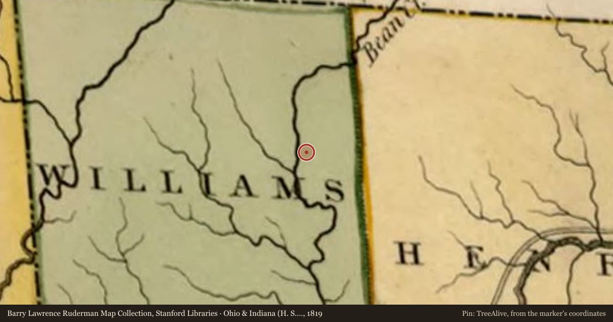
Side A: Pulaski and Pulaski Township in Williams County are named for Casimir Pulaski, a Polish cavalry officer who died to win America’s independence from Great Britain during the Revolutionary War. Charged with attempting to kidnap the king of Poland, Pulaski (1747-1779) fled to Paris and then to America in 1777, met General George Washington, and joined the colonies’ struggle. At the Battle of Brandywine, Pulaski covered the American retreat with a daring charge at pursuing British forces. After Brandywine, the Continental Congress commissioned Pulaski a Brigadier General of Cavalry. Pulaski later resigned his command and petitioned Washington to organize what came to be known in March 1778 as Pulaski’s Legion.
Side B: In February 1779, Pulaski’s Legion was ordered south. The Legion assisted in the defense of Charleston, South Carolina in May and moved to help French and American forces take British-held Savannah, Georgia. There, Pulaski was mortally wounded on October 9, 1779 in support of French admiral Charles Henri d’Estaing’s attack. Pulaski is memorialized as “the romantic embodiment of the flashing saber and the trumpet calling ‘to the charge’.” For forging a force that could scout and report British troop movements, conduct long-range forage raids to feed and cloth soldiers at Valley Forge, and engage in rear-guard actions to cover retreating American forces, Pulaski is remembered as the “Father of American Cavalry”.
Slide toward Today to fade the historical sheet and see the modern map underneath.
For example, one family's tree showed the Articles of Confederation marker in Pennsylvania standing under a mile from where William Gabby lived in the 1760s.
What that marker records spans 1777 to 1789, overlapping William Gabby's years there.