Side A: New Haven, Ohio, was the mercantile center of southwest Huron County during the first half of the 19th century. Residents described immense wagons, or “land schooners,” lined up for miles on the New Haven-Worthington Road traveling from Columbus to the Lake Erie ports. Organized in 1815, New Haven was one of the early townships formed in Huron County and the Firelands. The village was platted, with streets at right angles around a diamond-shaped town green, after the plan of New Haven, Connecticut. When, in the 1840s, New Haven rejected the railroad’s direct route through the village, the Sandusky & Newark was routed to the west and through Plymouth taking with it the shipping business. Subsequently, New Haven began a steady economic decline into a small crossroads village.
Side B: Two early citizens, Caleb Palmer and Rouse Bly, are buried in the Old New Haven Cemetery. Caleb Palmer (1775-1854), was an early Ohio surveyor in Trumbull County. He came to New Haven, bought his first land in the area around 1811, and settled here shortly thereafter. Palmer served as one of the first Huron county commissioners, a justice of the peace, and a postmaster. War of 1812 veteran Rouse Bly (1793-1866) settled near New Haven around 1825. Known for both his compassion and abolitionist opinions, Bly opened his home as an Underground Railroad station in the decades prior to the Civil War. Another early “resident” of the village was the Methodist Episcopal congregation (New Haven United Methodist), who built their New England-style house of worship on the village green between 1841-1842.
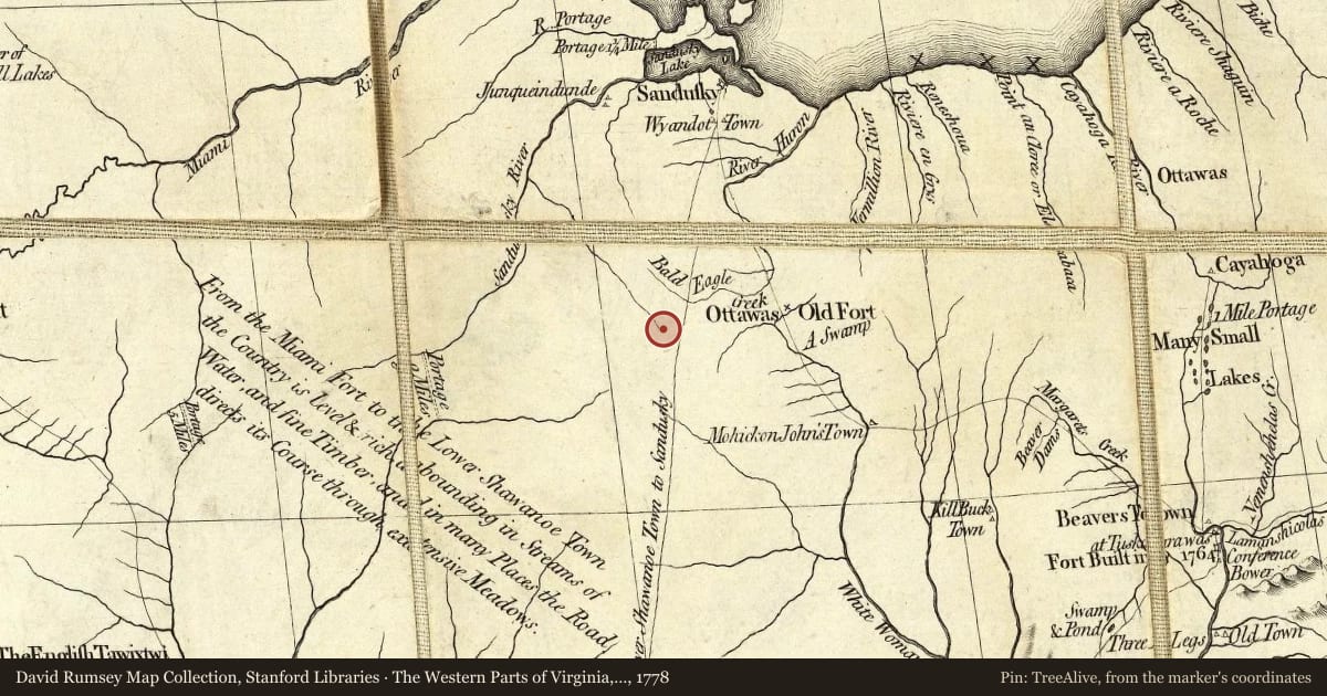
Maps this old were drawn largely by eye, so places on them can sit miles from where they really are. The pin is ours and marks the marker's location today.
Slide toward Today to fade the historical sheet and see the modern map underneath.
The Western Parts of Virginia, Pennsylvania, Maryland and North Carolina, 1778, covering this location. David Rumsey Map Collection, Stanford Libraries. The pin is ours, placed from the marker's coordinates.
For example, one family's tree showed the Articles of Confederation marker in Pennsylvania standing under a mile from where William Gabby lived in the 1760s.
What that marker records spans 1777 to 1789, overlapping William Gabby's years there.