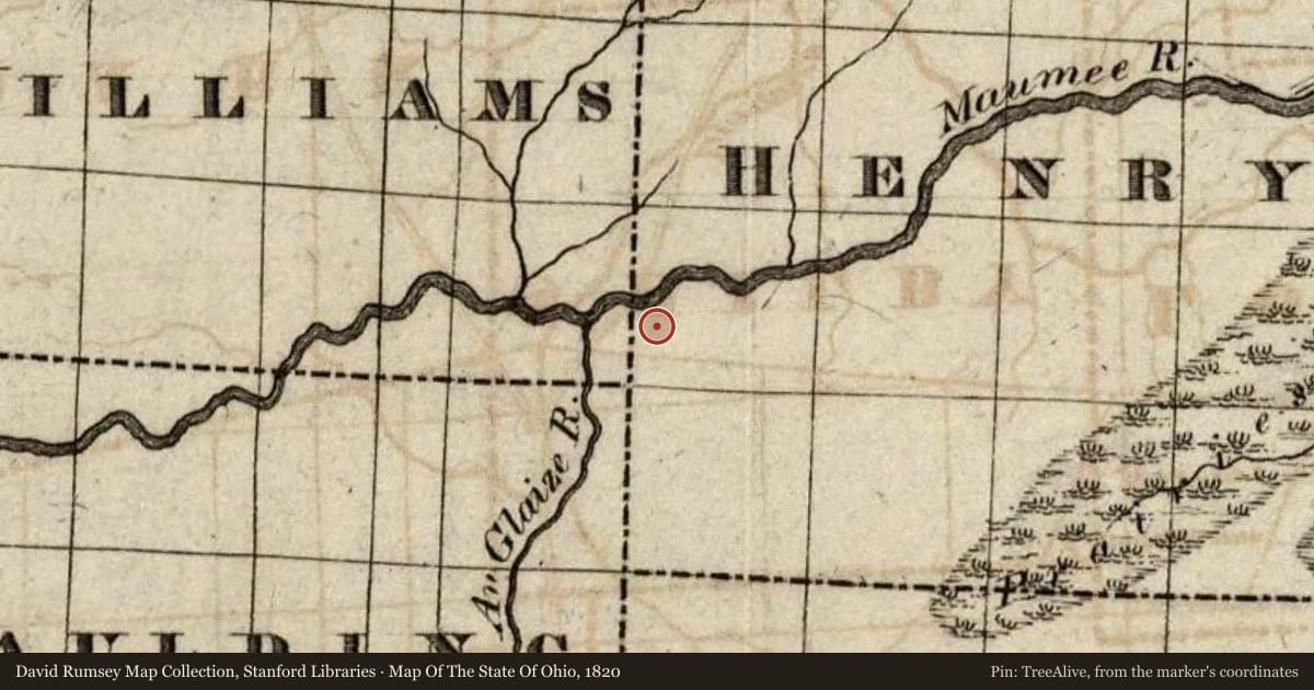
Side A: After completing Fort Winchester, Brigadier General James Winchester ordered his troops to cross to the north side of the Maumee River. The troops occupied the new site, Camp #2, from November 3-10, 1812. An earthen fortification was built for protection. Militia soldier Elias Darnell recorded on November 4th that “The weather is very rainy, which makes our situation extremely unpleasant…. Four of this army have gone to the silent tomb to-day never more to visit their friends in Kentucky; the fever is very prevalent in camp; nearly every day there is one or more buried.” Winchester referred to a burial place for the encampment in his General Orders for November 5th. Camp #2 proved to be too wet and marshy, Winchester ordered his army to move to six miles down river to a site called Camp #3.
Side B: The island is named for William Preston, a veteran of the War of 1812 and settler in the area. During that war, General Winchester ordered that a strong pen be built on the island for the army’s cattle. After the Civil War, the island became a popular spot for reunions for veterans and their families. The island had a racetrack, grandstand, auditorium, and baseball diamond. The public could travel there by boat or by trolley on the Defiance Electric Railway. The Maumee Valley Chautauqua was held on the island annually during summers from 1901 to 1912 and featured prominent speakers of the era. The mighty flood of March 1913 swept away the island’s facilities.
Slide toward Today to fade the historical sheet and see the modern map underneath.
For example, one family's tree showed the Articles of Confederation marker in Pennsylvania standing under a mile from where William Gabby lived in the 1760s.
What that marker records spans 1777 to 1789, overlapping William Gabby's years there.