Side A: The first in a succession of schools that eventually gave College Hill its name was CARY’S ACADEMY FOR BOYS. Freeman Cary opened this school in his home on Hamilton Avenue in 1832. Success necessitated larger quarters and in 1833 PLEASANT HILL ACADEMY was built at the corner of Hamilton and Colerain (now Belmont) Avenues. Continuing growth and a distinguished faculty led to formation of a college. Money was raised by selling shares, mostly bought by local farmers. FARMERS COLLEGE OF HAMILTON COUNTY was chartered on February 23, 1846 and Cary Hall was built on this Belmont Avenue site in 1847. Future President of the United States, Benjamin Harrison, attended the college from 1848 to 1850. During the 1860s Cary Hall served as a station on the Underground Railroad. (Continued on other side)
Side B: (Continued from other side) Difficult times during and after the Civil War caused Farmers College to go co-educational. The closing of nearby, OHIO FEMALE COLLEGE, which had opened in 1849, also helped enrollment. Renaming the school BELMONT COLLEGE in 1884 was another attempt to regain public confidence. In 1887 the college president suggested changing to a high school academy. His board of directors agreed and in 1890 the school reopened as THE OHIO MILITARY INSTITUTE with a new building, Belmont Hall, next to Cary Hall. It provided young men with a college preparatory education along with military instruction. Increasing maintenance costs and a practical limit on tuition forced the school to close in 1958. The 47 acre campus was sold to the Cincinnati Board of Education. AIKEN HIGH SCHOOL was built on part of the property and opened in 1962.
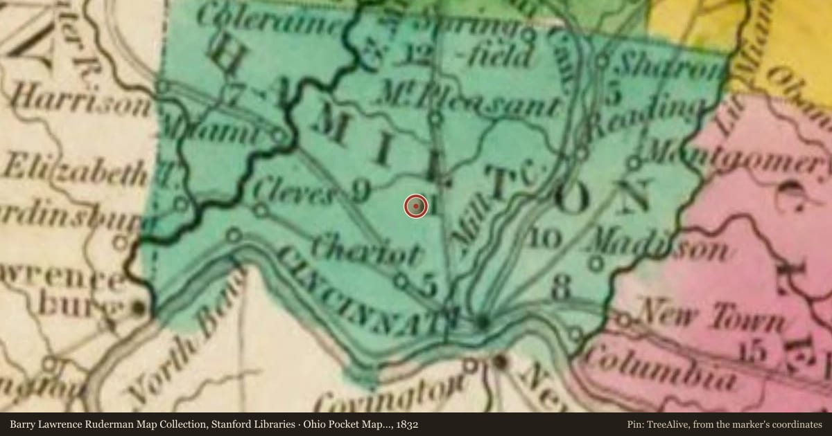
Slide toward Today to fade the historical sheet and see the modern map underneath.
For example, one family's tree showed the Articles of Confederation marker in Pennsylvania standing under a mile from where William Gabby lived in the 1760s.
What that marker records spans 1777 to 1789, overlapping William Gabby's years there.