Side A: Edward Drummond Libbey High School . Edward Drummond Libbey High School – “the castle on the hill” – opened in 1923 to serve the growing number of students in Toledo Public Schools. The school offered a curriculum of manual and academic training, reflecting a progressive movement during the late 19th and early 20th centuries to democratize education. Libbey High School was named for Edward D. Libbey (1854-1925), a local businessman, civic leader, and philanthropist who founded the Libbey Glass Company and Toledo Museum of Art. Libbey’s successful business ventures earned Toledo the nickname “The Glass Capital of the World.” Much of his fortune was spent on providing cultural and educational institutions that still serve the public as of 2018. (Continued on other side)
Side B: Continued from other side) Architect Edwin M. Gee designed Libbey High School. At the time it opened, it was the largest, most expensive school built in Toledo. The $1.5 million, 236,666-square-foot school could accommodate 2,000 students. In 1927, a brick stadium was built, followed, in 1955, by the field house and, in 1974, by the Skill Center. Declining enrollment and funding caused the school to close in 2010. More than 23,000 students were educated here in 87 years. The school, razed in 2012, was named to the National Register of Historic Places in 2011 as an outstanding example of Collegiate Gothic architecture and because of its significance to early-20th-century education.
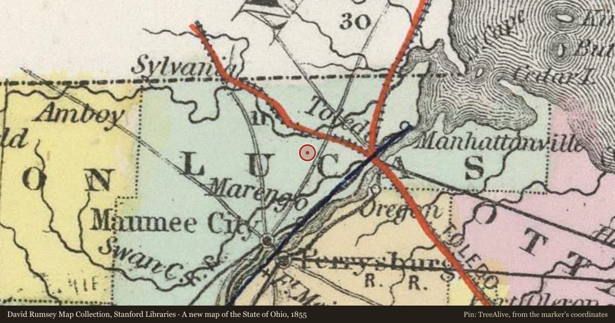
Slide toward Today to fade the historical sheet and see the modern map underneath.
For example, one family's tree showed the Articles of Confederation marker in Pennsylvania standing under a mile from where William Gabby lived in the 1760s.
What that marker records spans 1777 to 1789, overlapping William Gabby's years there.