Side A: This hamlet, located one mile southwest from here, was never platted, but was named after William Woods, president of the three-story brick Woodsdale paper mill constructed in 1867. Flanking the mill were the company office and store and several workers’ houses. Previous to this, the area flourished from the presence of two grist mills on the Great Miami River and from the Miami & Erie Canal. Additional enterprises such as a stone quarry, ice cutting company, and grain elevator operated here during the late 19th and early 20th centuries. Woodsdale was also known for the Woodsdale Island Amusement Park and the LC&D Railroad depot. The park, established on an island between the Miami & Erie Canal and the Great Miami River in 1891, was the site of picnics, political rallies, a large dance hall, and amusement rides–including a beautiful swan boat. The great flood of 1913 completely destroyed the park.
Side B: This farm, Chrisholm (German for home farm of Christian Augspurger), was established in 1830 by Christian Augspurger (1782-1848), leader of the Amish Mennonite settlement in Butler County. The Amish selected this area because of rich, fertile farmland and proximity to the Great Miami River. Christian’s son, Samuel, inherited the farm and lived there with his wife, Eliza Holly, and their seven children. The large, two-story farmhouse was built in 1874 and after fire destroyed the original 1830 stone house. It typifies the stark simplicity and balanced building style of Amish Mennonite settlements in Ohio. The property also features a large bank barn with a stone foundation. Samuel Augspurger (1825-1900) was an innovative entrepreneur responsible for Woodsdale’s industrial growth. Among other things, he directed the construction of Woodsdale’s first bridge over the Great Miami River, served as director of three turnpikes, and oversaw grist and saw mills. An incorporator of the paper company, he was also instrumental in establishing the Woodsdale school and post office.
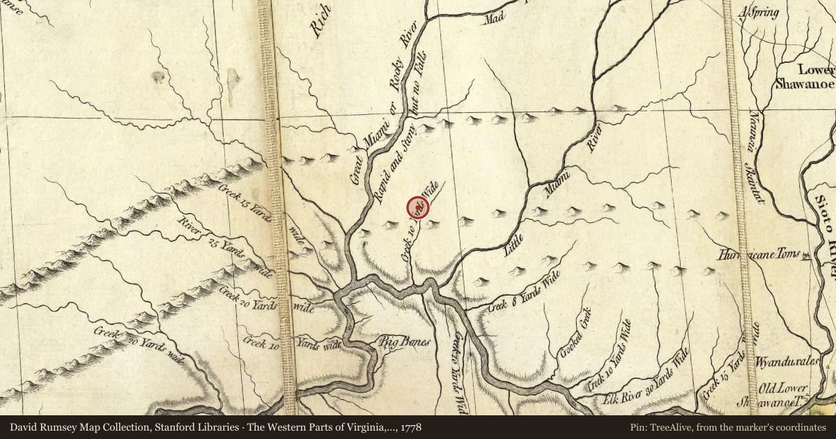
Maps this old were drawn largely by eye, so places on them can sit miles from where they really are. The pin is ours and marks the marker's location today.
Slide toward Today to fade the historical sheet and see the modern map underneath.
1819 · Ohio & Indiana (H. S. Tanner, 1819) (Barry Lawrence Ruderman Map Collection, Stanford Libraries)
1820 · Map Of The State Of Ohio (David Rumsey Map Collection, Stanford Libraries)
The Western Parts of Virginia, Pennsylvania, Maryland and North Carolina, 1778, covering this location. David Rumsey Map Collection, Stanford Libraries. The pin is ours, placed from the marker's coordinates.
For example, one family's tree showed the Articles of Confederation marker in Pennsylvania standing under a mile from where William Gabby lived in the 1760s.
What that marker records spans 1777 to 1789, overlapping William Gabby's years there.
Places within about 300 feet of this marker that are listed on the National Register of Historic Places. A nearby listing is not always the marker's own subject.