Side A: The land on which Coventry Township is situated was ceded in 1785 to the United States by the Delaware, Chippewa, Ottawa, and Wyandot tribes under the Treaty of Fort McIntosh. The area was a choice location for Native Americans, settlers, and fur traders due to the abundant bodies of water and proximity to the Portage Path, a land connection between the Tuscarawas and Cuyahoga rivers and Lake Erie. In 1788, Coventry Township was initially part of Washington County, the first county formed in the Ohio Territory. After Moses Warren finished a survey in 1797, a succession of county splits located Coventry Township in Jefferson County, Trumbull County, Portage County, and, finally, Summit County in 1840. The township originally encompassed Summit Lake and the lands south to the southern line of the Western Reserve (Green-New Franklin lines). Daniel Haines was the first resident to settle in Coventry Township in 1806.
Side B: The Portage Lakes area of Summit County was influential in the creation of trade and early prosperity in the region. Native Americans, settlers, and fur-traders traversed the trade routes in the eighteenth century using lakes, rivers, and both sides of the Portage Path. In 1827, reservoirs were created in Green and Franklin townships, and along with the lakes in Coventry Township, were used to supply additional water to the newly completed Ohio and Erie Canal. The Ohio and Erie Canal brought industry, commerce, and a new economic base to the Akron and Portage Lakes area. After closing the Ohio and Erie Canal to transportation in 1913, the lakes supplied water for businesses and residents of the Portage Lakes area. The Portage Lakes shifted from a vacation area with summer cottages, canoes, and resorts to year-round homes and recreational activities, such as boating, fishing, swimming, and golfing.
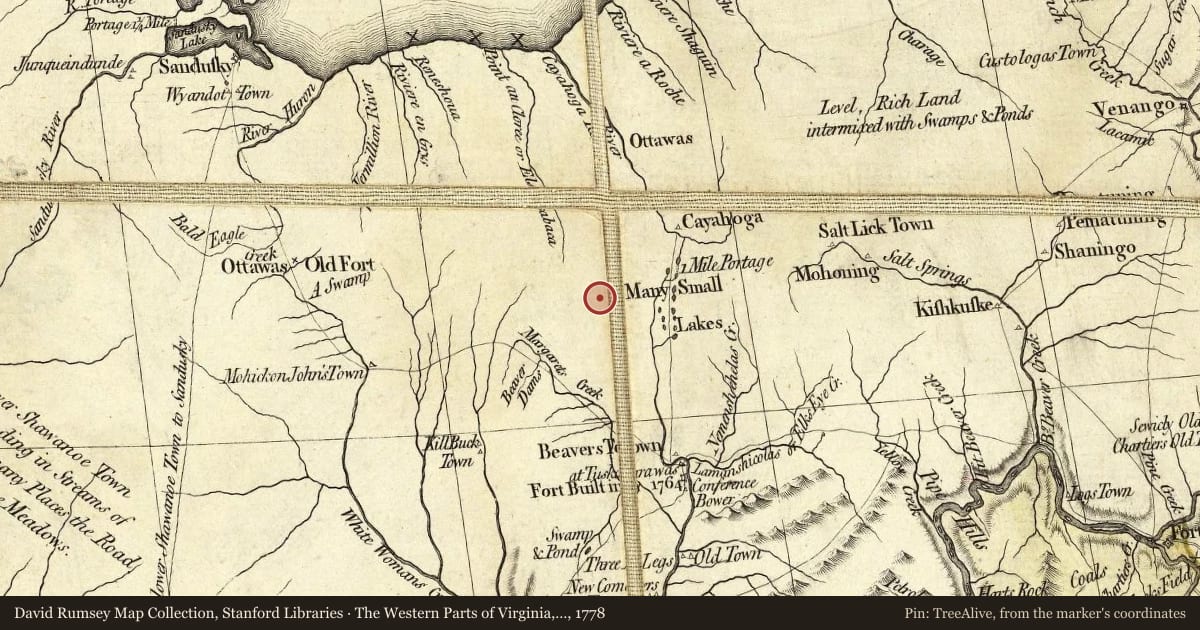
Maps this old were drawn largely by eye, so places on them can sit miles from where they really are. The pin is ours and marks the marker's location today.
Slide toward Today to fade the historical sheet and see the modern map underneath.
The Western Parts of Virginia, Pennsylvania, Maryland and North Carolina, 1778, covering this location. David Rumsey Map Collection, Stanford Libraries. The pin is ours, placed from the marker's coordinates.
For example, one family's tree showed the Articles of Confederation marker in Pennsylvania standing under a mile from where William Gabby lived in the 1760s.
What that marker records spans 1777 to 1789, overlapping William Gabby's years there.