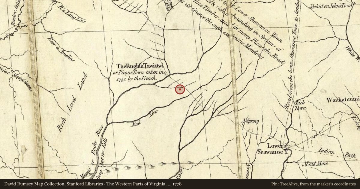
Side A: The West Liberty area, in the Mad River Valley, was the location of at least seven Shawnee Indian villages. This elevated site was the location of one of those villages. Several septs or divisions of the Shawnee nation lived in this area after being forced from their homes in southern Ohio. In 1786, together with Simon Kenton, Colonel Benjamin Logan’s army destroyed all the Shawnee villages in retaliation for the Indian raids in southern Ohio and Kentucky. Consequently, the remaining Shawnees moved to northwest Ohio near the present-day site of Maumee.
Side B: J.M. Glover, owner of a local sawmill and dry goods store, built a brick mansion in 1853 on the former Shawnee village site overlooking the town of West Liberty. The two-story building displays elegant craftsmanship and features decorative brackets, stone window surrounds and belt coursings, and projecting gable bays. In 1894, the Glover home was sold, and it became the Glover Collegiate Institute, a preparatory school operated by the Presbyterian Church. Five years later, a group of local Mennonites acquired the building. The Mennonite Orphan’s home of Orrville, Ohio, founded in 1896, was invited in 1900 to move its operations to Glover Hall in West Liberty. In 1957, the Orphan’s Home changed its focus and began to serve families who have children with special needs. At that time, the name of the organization was changed to Adriel School. An outpatient counseling center, Ben-El Child Development Center, was added in 1989 to the existing foster care and residential treatment services of Adriel School. Glover Hall houses the administrative offices for Adriel School. Over the past one hundred years, 3,951 children and their families have received care and treatment through the services of the Mennonite Orphan’s Home and Adriel School.
Maps this old were drawn largely by eye, so places on them can sit miles from where they really are. The pin is ours and marks the marker's location today.
Slide toward Today to fade the historical sheet and see the modern map underneath.
The Western Parts of Virginia, Pennsylvania, Maryland and North Carolina, 1778, covering this location. David Rumsey Map Collection, Stanford Libraries. The pin is ours, placed from the marker's coordinates.
For example, one family's tree showed the Articles of Confederation marker in Pennsylvania standing under a mile from where William Gabby lived in the 1760s.
What that marker records spans 1777 to 1789, overlapping William Gabby's years there.