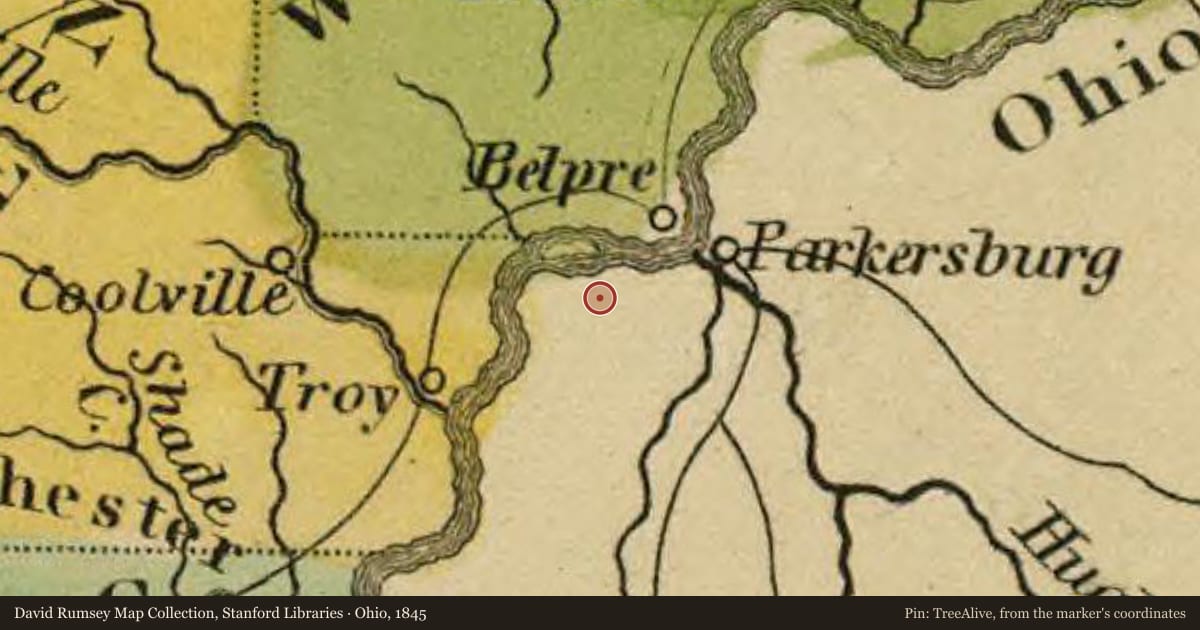
Side A: Underground Railroad crossings, agents, and conductors were common along the Ohio River between Washington County, Ohio and Wood County, Virginia. At Constitution, six miles upriver from Belpre, Judge Ephraim Cutler listened for hoot owl calls that signaled when a boatload of runaway slaves was crossing from Virginia to the Ohio shore. “Aunt Jenny,” a slave woman in Virginia, used a horn signal to alert abolitionist John Stone in Belpre when fugitive slaves were crossing. At Little Hocking, eight miles downriver from Belpre, slaves crossing from Virginia looked for a lantern signal to guide them to the Horace Curtis Station on the Ohio River shore. Runaway slaves were also assisted by Thomas Vickers at Twin Bridges, James Lawton at Barlow, and others as they traveled northward by various routes through Morgan County to Putnam in Muskingum County where the Underground Railroad merged with the Muskingum River Corridor.
Side B: In July 1845, an incident at Belpre nearly led to war between Ohio and Virginia when armed Virginia slave catchers intercepted six fugitive slaves getting out of a boat on the Ohio shore. Ohio citizens Peter M. Garner, Crayton J. Lorraine, and Mordicai Thomas were arrested by the Virginians, taken to jail in Parkersburg, Virginia, and held without bail on charges of violating Virginia’s fugitive slave laws, laws not applicable in Ohio where slavery was illegal. Jurisdictional issues regarding the states’ boundary lines were raised. The question was whether the prisoners had actually been apprehended in Ohio or Virginia. Tensions increased when Ohio’s governor threatened to use Ohio’s militia to enter Virginia and free the prisoners. After six months Virginia courts finally released the prisoners on their own recognizance with the question of jurisdiction never resolved.
Slide toward Today to fade the historical sheet and see the modern map underneath.
For example, one family's tree showed the Articles of Confederation marker in Pennsylvania standing under a mile from where William Gabby lived in the 1760s.
What that marker records spans 1777 to 1789, overlapping William Gabby's years there.