Side A: This area, known as Calmoutier, was an early French Catholic farming community founded in 1832 by Claude Druhot, who came from Calmoutier, Hte-Saône, France. Its first native, the four-month-old Claude Joseph Druhot, was baptized on 9 June 1833 by Fr. John Henni, who resided at St. John’s in Canton (and in 1854 became Milwaukee’s first bishop). In 1836 Fr. John Alleman, O.P., established St. Genevieve’s Mission (when it began to keep its own records) on land donated by the Pierson and Roussel families. The log chapel that was built (the first of four churches here) predated any Catholic church building in Cleveland, Akron, and Toledo.
Side B: Fr. Stephen Badin, the first Catholic priest ordained in America (by Bishop John Carroll in 1793), frequented St. Genevieve’s from 1835-1837. He was Missionary Apostolic and Pastor of the Potawatomi Indians, Vicar-General of Bardstown and Apostle of Kentucky, and Vicar-General of Cincinnati. In 1841 he deeded the site of Notre Dame University, where he is buried, to its founder Fr. Edward Sorin, C.S.C. But the most celebrated missionary, Fr. Jean Baptiste Lamy, came from Danville in nearby Knox County between 1839-1841. In 1853 he was made the first Bishop of Santa Fe, New Mexico. Portrayed as Bishop Latour in Willa Cather’s fictionalized novel, Death Comes for the Archbishop, he is also the hero in Paul Horgan’s historical work, Lamy of Santa Fe. The famous Kit Carson, a convert, esteemed him highly and scouted for him.
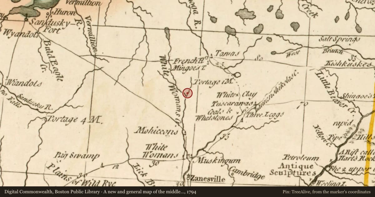
Maps this old were drawn largely by eye, so places on them can sit miles from where they really are. The pin is ours and marks the marker's location today.
Slide toward Today to fade the historical sheet and see the modern map underneath.
A new and general map of the middle dominions belonging to the United States of America…, 1794, covering this location. Digital Commonwealth, Boston Public Library. The pin is ours, placed from the marker's coordinates.
For example, one family's tree showed the Articles of Confederation marker in Pennsylvania standing under a mile from where William Gabby lived in the 1760s.
What that marker records spans 1777 to 1789, overlapping William Gabby's years there.