Fort Defiance
Fort Defiance is a New Mexico historical marker in McKinley County.
Get directions ↗Start a road tripHistorical trails
The Historic Preservation Division notes that its marker spreadsheet may be out of date and in places inaccurate, and that it does not know where every marker now stands. These pages carry the spreadsheet’s record; a marker listed here may have moved or may no longer stand. the program’s page ↗
Slide toward Today to fade the historical sheet and see the modern map underneath.
David Rumsey Map Collection, Stanford LibrariesUSGS Historical Topographic Map CollectionDavid Rumsey Map Collection, Stanford LibrariesDavid Rumsey Map Collection, Stanford LibrariesUSGS Historical Topographic Map Collection
Historical maps covering this location
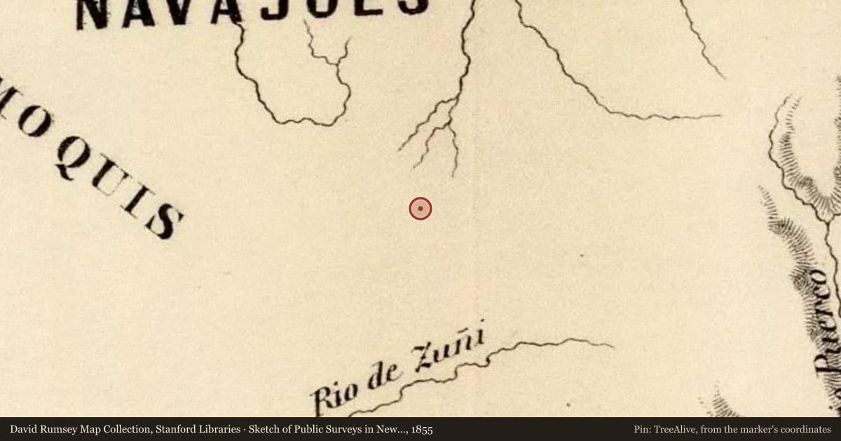
- 1855 · Sketch of Public Surveys in New Mexico 1855 (David Rumsey Map Collection, Stanford Libraries)
- 1876 · Map of Exploration and Surveys in New Mexico and Utah. (David Rumsey Map Collection, Stanford Libraries)
- 1876 · Territory of New Mexico (David Rumsey Map Collection, Stanford Libraries)
- 1886 · Wingate, New Mexico (USGS Historical Topographic Map Collection)
- 1892 · Wingate, New Mexico (USGS Historical Topographic Map Collection)
For example, one family's tree showed the Articles of Confederation marker in Pennsylvania standing under a mile from where William Gabby lived in the 1760s.
What that marker records spans 1777 to 1789, overlapping William Gabby's years there.
Upload your family tree and TreeAlive finds the markers near where your own ancestors lived.
See your family's markersStart with a tree file, a FamilySearch sign in, or a WikiTree ID.
Report a problem with this page
At the marker right now? You can send us the spot you're standing on.
We may pass what you report to the state's marker program. Please don't include personal details.
Marker data: Official Scenic Historic Markers program, New Mexico Historic Preservation Division, Department of Cultural AffairsMarker texts come from the Division’s published marker spreadsheet, reproduced with the Division’s written permission. Where that spreadsheet records a coordinate, the pin is the Division’s own; where it records only a highway and mile marker, an address, a junction or a named place, or where its coordinate contradicts its own highway, mile and county, the pin is ours, resolved on public road and place data and marked approximate.