Colstrip is located in the northern end of the Powder River Basin, an enormous shallow bowl in southeastern Montana and northern Wyoming that was formed when the Rocky Mountains and Black Hills began uplifting during the late Cretaceous Period. The basin contains sediments of the Fort Union Formation which were deposited after the dinosaur extinction about 60 million years ago. Rivers originating in mountain uplifts to the west and south carried abundant sediment to a shallow inland sea, crossing the subtropical, swampy coastal plain of eastern Montana on their way. As the rivers shifted, the swamp vegetation and peat were covered with thick deposits of sand, silt, and clay. In time, the vegetation and peat compacted to form coal. The sand, silt, and clay cemented and compacted into sandstone, siltstone, and mudstone. Eastern Montana has an estimated 200 billion tons of coal that developed from the vegetation of these swamps. The scattered red rock hills you see in the area in the Fort Union Formation are clinker. Clinker forms when lightning strikes, wildfires, or spontaneous combustion cause the coal to ignite and burn. The fires might burn for centuries. The intense heat of the burning coal bakes the adjacent sedimentary layers transforming rock into the hard, red clinker.
The rocky outcrops that you see bordering rivers and along the sides of hills are sandstones of the Tongue River Member, which comprises the uppermost level and youngest beds of the Fort Union Formation. Most of the Powder River Basin coals are found interbedded with these sandstones. There are around thirty-two coal seams in the thick Tongue River Member with a combined thickness of more than 300 feet. The coal seams are mined where they are thick and close to the surface. The sub-bituminous coal in this area is low in sulfur content and is suitable for steam-electric generating plants. The Northern Pacific Railway began strip mining coal in this area in 1924 to fuel its steam locomotives.
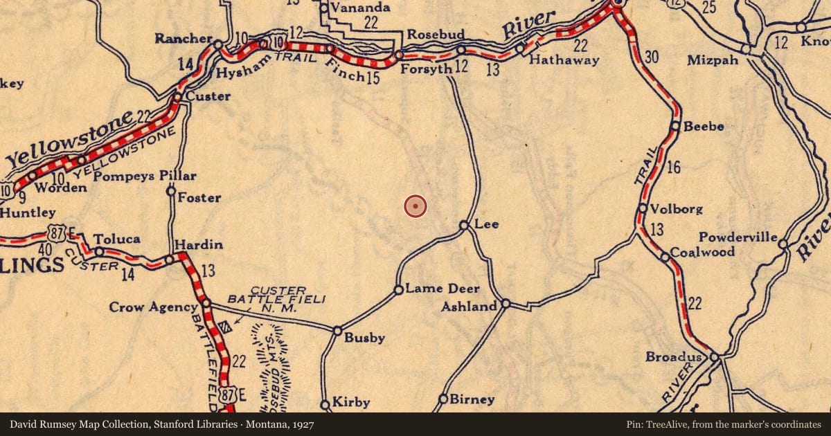
Slide toward Today to fade the historical sheet and see the modern map underneath.
For example, one family's tree showed the Articles of Confederation marker in Pennsylvania standing under a mile from where William Gabby lived in the 1760s.
What that marker records spans 1777 to 1789, overlapping William Gabby's years there.