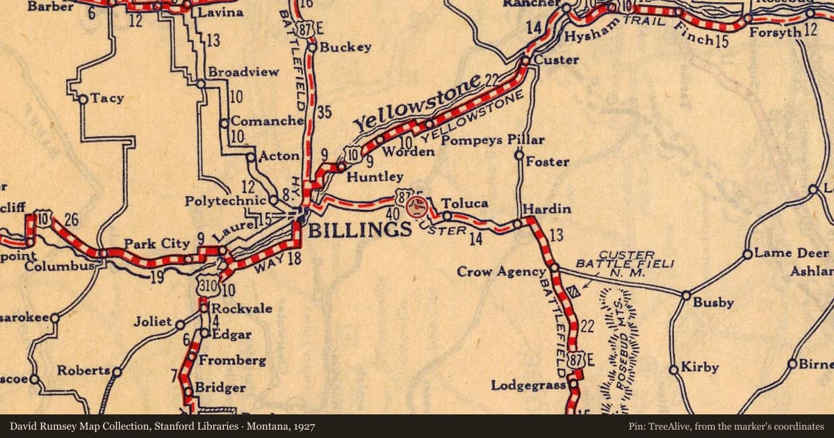
During the early twentieth century, traveling by automobile in Montana was an adventure only a hardy few undertook. Roads were usually nothing more than dirt tracks that were dusty in the summer and quagmires when wet. There were no plows, so snow made most roads across the Treasure State all but impassable in the winters. Automobiles often broke down and punctured tires were the rule rather than the exception. Despite that, promoters boasted that the state’s roads as among the best in the United States. Out-of-State and local boosters banded together to form associations to draw automobile tourists to the state to enjoy its historic, recreational, and scenic attractions. The associations designated routes across the state and gave them colorful names, like Yellowstone Trail, Park-to-Park Highway, and Theodore Roosevelt International Highway. Communities along the route advertised their businesses and services in publications distributed to motorists planning trips to Big Sky Country. The most important information in the publications, though, concerned road conditions and the availability of hotels, repair garages, and tourist cabin camps.
Created by Sheridan, Wyoming businessmen in 1919, the Custer Battlefield Hiway was a 1,500-mile “road” that connected Omaha, Nebraska and Glacier National Park. “Selected with great care,” the Custer Battlefield Hiway Association claimed that “nowhere in the world will the hand of good-fellowship be so cordially extended as along this great hiway.” Battlefield Hiway promoters hyped the route’s association with George Armstrong Custer and that the “finest tourist campgrounds in the North West” were located along its length. The Custer Battlefield Hiway, boosters crowed, was “destined to be one of the great Hiways to the West.” By the mid- 1920s, however, the route had been incorporated into the Federal Aid highway system and was re-designated US Highways 87 and 89. The Custer Battlefield Hiway passed very close to this rest area, with segments of it now serving as county roads.
Slide toward Today to fade the historical sheet and see the modern map underneath.
For example, one family's tree showed the Articles of Confederation marker in Pennsylvania standing under a mile from where William Gabby lived in the 1760s.
What that marker records spans 1777 to 1789, overlapping William Gabby's years there.