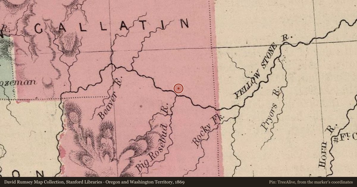
The Bozeman Trail descended from the high plateau to the Yellowstone River on the east side of Bridger Creek. The trail crossed the creek and then continued one mile to the Yellowstone. From there, the trail went west along the south bank of the river to the Yellowstone Ford east of Springdale. The trail was nearing its end, with only sixty-eight miles of its nearly five hundred mile length remaining to reach the newly established town of Bozeman. While the trail west of the Bighorn River was considered safe from marauding Lakota warriors a grave two miles east of here proves that this was not always true.
William K. Thomas, his young son Charley, and their driver Joseph Schultz believed it was safe to travel alone west of the Bighorn crossing. The Thomas party left the large wagon train they had been traveling with and went ahead. On August 24, 1866, the Lakota attacked their camp on the bank of the Yellowstone. William and Charley Thomas were killed near their wagon, Schultz was killed by the river where he was fishing. The wagon train they had left came upon them later that day. They were buried in a common grave beside the road. To reach the grave, take I-90 exit 384 and go west two miles on the frontage road. An historical marker is located at the grave site.
Diary Excerpts
“For a moment I stand gazing at the lofty peaks now at the ruged [sic] rocks while my mind runs even then at the wild scenes of nature that spread out before my eyes. I am meditating upon the adventure that I am about to take county the cost, Summing up the danger, cold chills run through my blood.” • William Thomas, July 31, 1866
“Where we struck the Yellowstone we found a Minister, his little son, and a driver [the Thomas Party] that had left the train at Big Horn and gone ahead, murdered by the Indians. They were scalped ..., their stock run off and the contents of their wagon destroyed. They had not been killed long for their camp fire had not gone out.” • Perry Burgess, August 25, 1866
“We camped near the graves of three men that were killed here on the 24th [of this month] by Indians. They had been traveling alone with one wagon, and had no arms. [William] Thomas, the man that owned the team was a religious man and said he put his trust in the Lord, and didn’t think he needed any arms. His son and a hired man were the other two. Thomas had 14 arrows put through him. He had $3,000 in greenbacks which was taken. A party which came along the next day found these men and buried them.” • Samuel Finlay Blythe, August 26, 1866
Slide toward Today to fade the historical sheet and see the modern map underneath.
For example, one family's tree showed the Articles of Confederation marker in Pennsylvania standing under a mile from where William Gabby lived in the 1760s.
What that marker records spans 1777 to 1789, overlapping William Gabby's years there.