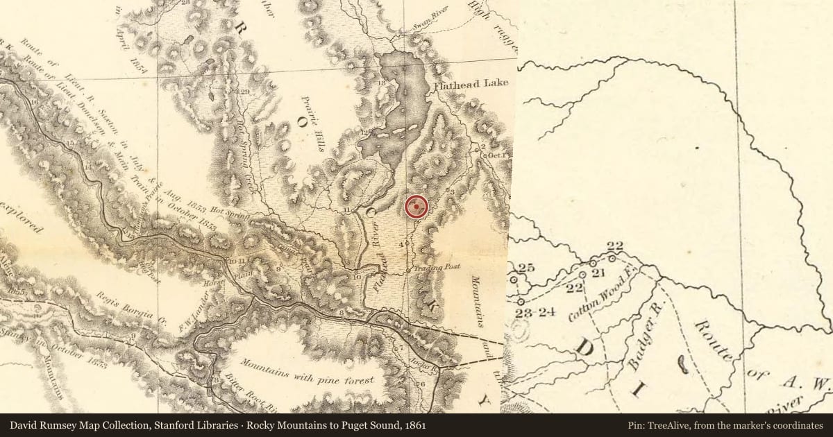
About 15,000 years ago, a glacier pushed its way down the Rocky Mountain Trench into northern Montana. At the northern end of the Mission Mountains, the glacier broke into two branches. One branch scraped down the west side of the range until it reached this place, where it stopped and began to melt, leaving behind this gravel-laden hill, called a terminal moraine. The ice remaining north of this moraine eventually melted away, creating Flathead Lake, the largest freshwater lake in the western United States.
In the Salish language, this hill is called Sqlew̓ Stqeps -- the Beaver's Dam. The name comes from a Pend d'Oreille creation story about White Beaver, a monster whose lodge was Wild Horse Island. The Wolf Brothers killed White Beaver, broke up his lodge, and breached the dam. The waters rushed out, leaving behind Flathead Lake.
This is one of many Salish and Pend d'Oreille creation stories bearing uncanny parallels with the geologic record of the last ice age. Other legends describe giant beaver and giant bison, great dams blocking the rivers, and the retreat of the bitter cold weather and establishment of the climate we know today. In these stories we can glimpse the collective memory of the most ancient reaches of the tribal past. Archaeologists have documented sites within Salish-Pend d'Oreille aboriginal territories dating back about 10,000 years, and say it is almost certain that people occupied the area at an even earlier time. These are the traces of the x̣͏ʷl̓čmusšn -- the ancestors -- who first occupied the region after Coyote and others rid the land of the naɫisqélix͏ʷtn -- the people-eaters.
The Pend d'Oreille band that lived in the Flathead Lake area was known in Salish as the Sɫq̓tk͏ʷmsčin̓t -- the People of the Broad Water, after the name of the lake, Čɫq̓étk͏ʷ, meaning Broad Water. The ethnographer James Teit wrote that the lake was "the earliest recognized main seat of the Pend d'Oreilles." Anthropologist Carling Malouf wrote that “the density of occupation sites around Flathead Lake, and along the Flathead River...indicates that this was, perhaps, the most important center of ancient life in Montana west of the Continental Divide.”
Slide toward Today to fade the historical sheet and see the modern map underneath.
For example, one family's tree showed the Articles of Confederation marker in Pennsylvania standing under a mile from where William Gabby lived in the 1760s.
What that marker records spans 1777 to 1789, overlapping William Gabby's years there.