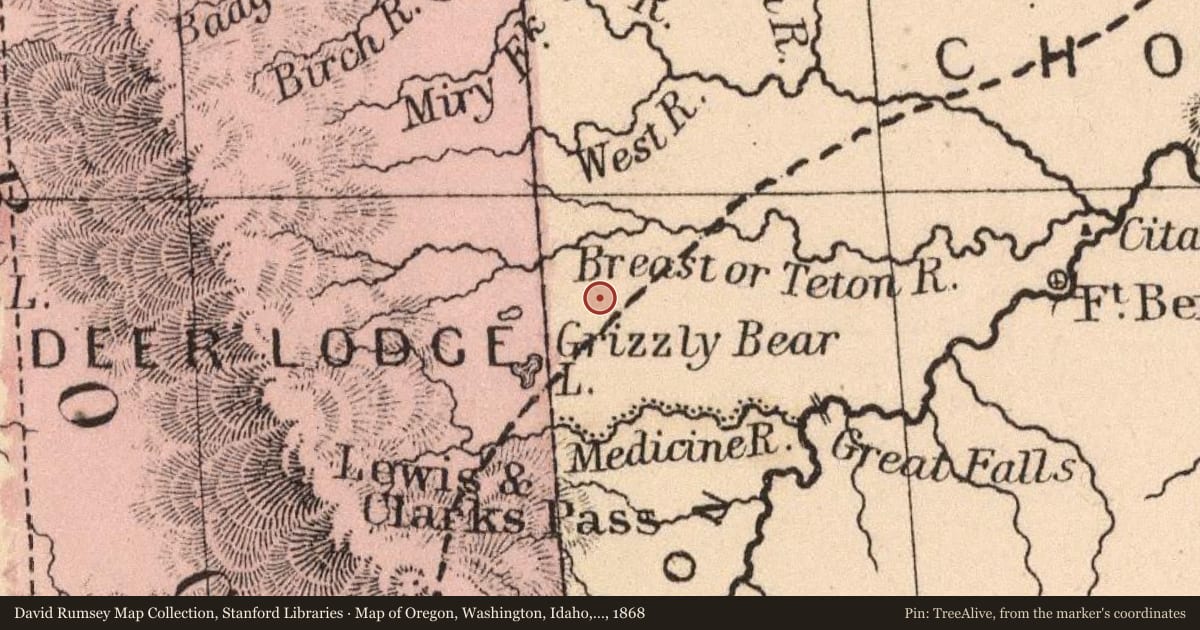
About 1/4 mile SE of this point, a huge native stone marks the site of “Old Agency” of the former Blackfeet Indian Reservation. The agency was established in 1868-69 and with unusual generosity, the whites in authority permitted Blackfeet chiefs to select the location. They chose the spot known to them as “Four Persons” because of the pleasant memories associated with it. Some of their warriors had overtaken and dispatched four furtive Crees there a few years before. At Old Agency, in 1869, the first government agricultural experiment was conducted. In 1872 the first public school was opened for the benefit of the Blackfeet. Neither project attained notable popularity with the beneficiaries. However, that same year they were impressed by young “Brother Van,” a circuit-riding Methodist lay preacher, not so much by the sincere fervor of his oratory as by his courage, skill and stamina during a buffalo hunt staged in his honor. The Northwest Fur Company and I. G. Baker and Brother operated licensed Indian trading posts near the agency where they pursued the tolerably lucrative business of bartering tobacco, beads, and other essential goods for furs. At his request, Big Lake, a great chief of the Blackfeet, was buried on a high point overlooking Old Agency so that his spirit could look down on his people as they came to trade. Reservation boundaries were moved north to Birch Creek by a Congressional Act of April 15, 1874 and in 1876 Old Agency on the Teton was abandoned.
Slide toward Today to fade the historical sheet and see the modern map underneath.
Map of Oregon, Washington, Idaho, and part of Montana, 1868, covering this location. David Rumsey Map Collection, Stanford Libraries. The pin is ours, placed from the marker's coordinates.
Example
For example, one family's tree showed the Articles of Confederation marker in Pennsylvania standing under a mile from where William Gabby lived in the 1760s.
What that marker records spans 1777 to 1789, overlapping William Gabby's years there.