The scenic Highwood Mountains, visible on the skyline to the northeast, are composed of resistant volcanic rocks which tower above the relatively soft surrounding sedimentary rocks. The mountains contain an unusual abundance of a dark igneous rock called shonkinite. Shonkinite occurs in other parts of the world, but it was named for the exposures found near the community of Shonkin on the north side of the Highwood Mountains.
As you drive to the northwest, look for a prominent hill known as Belt Butte northeast of the highway. You can recognize it by its “belt” of Cretaceous sandstone. Belt Butte is notable because it gave its name to Belt Creek, the town of Belt, and to the Big and Little Belt mountains to the south. The Belt Supergroup, an extremely thick and extensive package of western Montana sedimentary and metamorphosed sedimentary rock, hundreds of millions of years old, is found in many mountain ranges of western Montana. The Supergroup was named for the Big and Little Belt mountains thanks to the “belt” of sandstone around Belt Butte!
The Little Belt Mountains, visible to the south, were bowed up by multiple blister-like pockets of magma, molten rock that arched up the overlying sedimentary layers to form domes. The domes and mountains are cored by igneous rock formed about the same time as the Highwood Mountains, about 50 million years ago.
The Great Falls coal field extends through the Armington area. The coal is discontinuous, having developed from plant material that accumulated in a number of Early Cretaceous swamps. Compaction of the remains of swamp plants over millions of years produced the medium-grade bituminous coal in the area. Coal mined in this area powered the locomotives of the Great Northern Railway, fueled the smelter at Great Falls, and heated homes throughout central Montana. Coal mining in the area declined after 1950, when the coal of the Great Falls field could not compete with diesel, oil, and natural gas.
Slide toward Today to fade the historical sheet and see the modern map underneath.
1954 · Great Falls, Montana (USGS Historical Topographic Map Collection)
1957 · Great Falls, Montana (USGS Historical Topographic Map Collection)
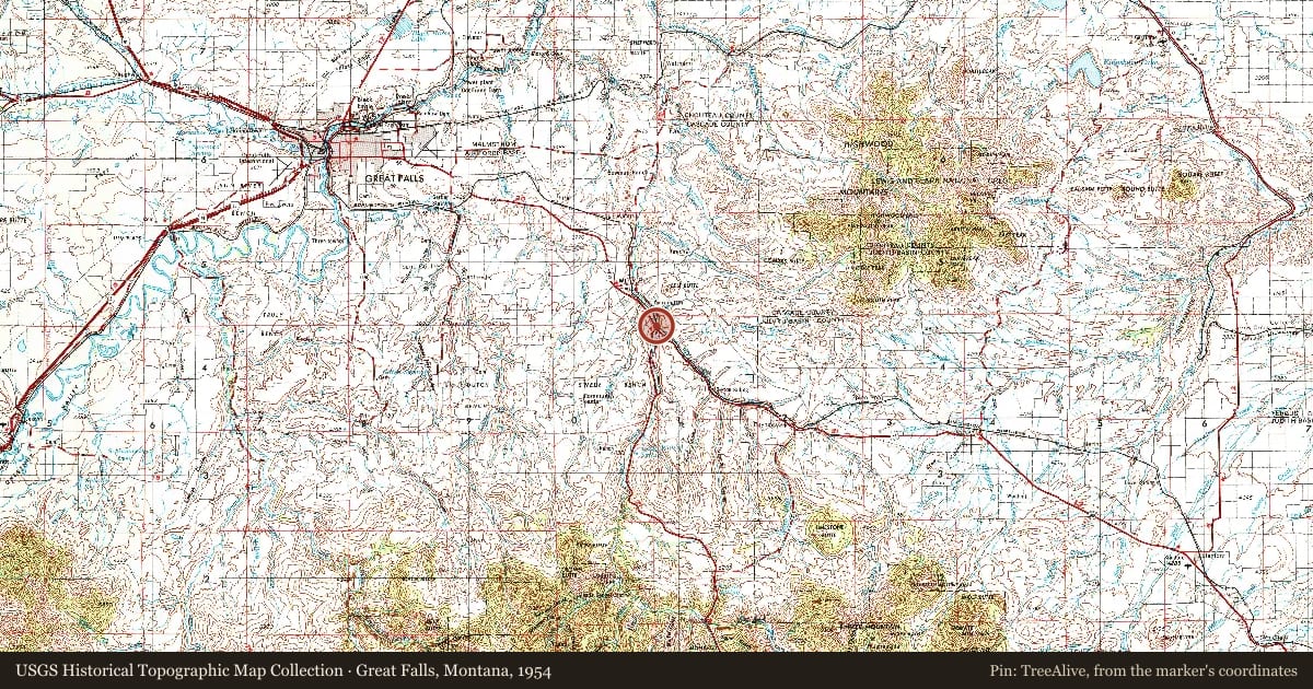
Great Falls, Montana, 1954, covering this location. USGS Historical Topographic Map Collection. The pin is ours, placed from the marker's coordinates.
Example
For example, one family's tree showed the Articles of Confederation marker in Pennsylvania standing under a mile from where William Gabby lived in the 1760s.
What that marker records spans 1777 to 1789, overlapping William Gabby's years there.