About 350 million years ago, much of Montana was submerged under a shallow sea. Billions of tiny marine creatures thrived in the water and when they died their bodies settled into the muck on the seabed. After hundreds of millions of years of accumulation and many more millions of years it metamorphosed into the pale gray rocks that are known today as Madison Limestone. The limestone is common throughout Montana, eastern Idaho, northern Wyoming, and in the Dakotas. In Montana, the limestone beds are from 1,000 to 2,000 feet thick in places. Because Madison Limestone resists weathering and erosion much better than most other kinds of rocks, it forms many of the spectacular cliffs and dramatic ridges that make Montana such a scenic place to drive through. A magnificent outcrop of Madison Limestone is visible on the north side of Interstate 90 just a few miles east of this rest area. The limestone pinnacles were exposed when the soil around them eroded away, creating the dramatic canyon along the Clark Fork River. The red streaks visible on the rocks and soil is iron oxide. About 75 million years ago molten rock intruded the area near the crest of the Garnet Range, seven miles north of this rest area. Northwest-trending faults and rock layers channeled mineral-rich fluids from the intrusion into Cambrian and Precambrian rocks to form three principal gold veins and numerous smaller, gold-bearing zones. Prospectors discovered gold placers at the mouth of Bear Gulch, about a mile northeast of the rest area in 1865; discoveries in other drainages of the Garnet Range soon followed. Although gold-bearing veins were discovered by 1866, equipment and technology were not readily available to work them. By 1896, however, numerous underground mines were producing gold, silver, and copper. In 1898, more than 1,000 people lived in the town of Garnet to support the miners living in the surrounding area.
Slide toward Today to fade the historical sheet and see the modern map underneath.
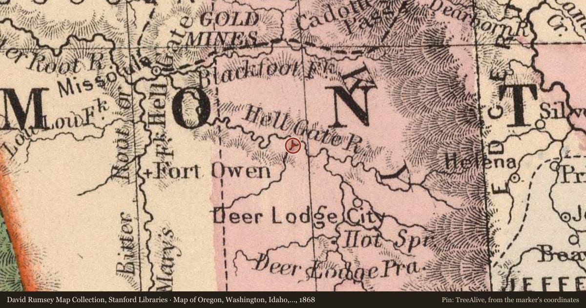
Map of Oregon, Washington, Idaho, and part of Montana, 1868, covering this location. David Rumsey Map Collection, Stanford Libraries. The pin is ours, placed from the marker's coordinates.
Example
For example, one family's tree showed the Articles of Confederation marker in Pennsylvania standing under a mile from where William Gabby lived in the 1760s.
What that marker records spans 1777 to 1789, overlapping William Gabby's years there.