The canyon along the Kootenai River exposes Missoula Group rocks of the Belt Supergroup. The formations in the Missoula Group are the youngest units in the Belt rocks and consist of well-cemented sandstones, called quartzites, and thin layers of hard mudstones or shales. These rocks form most of the outcrops along the highway from east of Libby to the Idaho border. In this area, the rocks are slightly folded so that the river cascades over the inclined hard quartzite beds in the stair-step-like falls. Individual folds may be seen in the north-facing roadcut just south of Highway 2, southwest of the parking lot. Another fold may be seen north of the river. These folds resulted from east-west compression that caused north-to-south trending folds and faults throughout western Montana. These folds are part of a mountain-building event that affected western North America about 50 to 100 million years ago.
When the rocks belonging to the Belt Supergroup were deposited about 1.5 billion years ago during the Precambrian Eon, much of western Montana was covered by shallow seas or lakes surrounded by very flat shores. Sediments in the water deposited thin beds of sand, mud, and calcium carbonate. The surfaces of the rocks often display mud cracks, ripple marks, the spatter marks of raindrops, and, sometimes, the casts of salt crystals. These structures can be found in outcrops along the Kootenai River and indicate that the water covering the area was shallow, and occasionally, completely dried up. Algae mats grew locally, often trapping fine particles of calcium carbonate to form rounded structures called stromatolites. Near the river below Swinging Bridge are wonderful examples of stromatolites and ripple marks.
The earth’s crust slowly sank for about 100 million years forming a large geologic basin in which Belt Supergroup sediments accumulated as much as 10 miles thick! Belt rocks dominate the mountains of northern and central Idaho and northwestern Montana and extend east to the Little Belt Mountains in central Montana. The sedimentary rocks along US Highway 2 between the Idaho border and the Continental Divide south of Glacier National Park almost entirely belong to the Belt Supergroup. These rocks are characterized by brown, gray, red, green, purple, and yellow colors and locally form dramatic cliffs where resistant, well-cemented sandstones are exposed.
Slide toward Today to fade the historical sheet and see the modern map underneath.
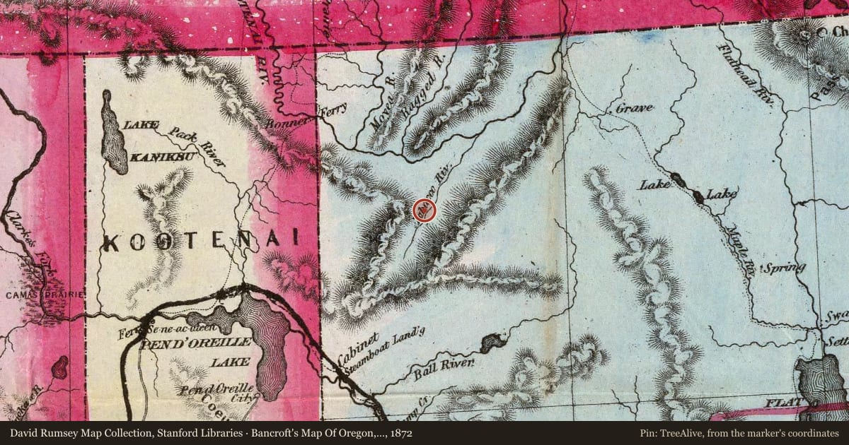
Bancroft's Map Of Oregon, Washington, Idaho, Montana And British Columbia, 1872, covering this location. David Rumsey Map Collection, Stanford Libraries. The pin is ours, placed from the marker's coordinates.
Example
For example, one family's tree showed the Articles of Confederation marker in Pennsylvania standing under a mile from where William Gabby lived in the 1760s.
What that marker records spans 1777 to 1789, overlapping William Gabby's years there.