“Honyocker, scissorbill, nester. . . He was the Joad of a quarter century ago, swarming into hostile land; duped when he started, robbed when he arrived; hopeful, courageous, ambitious: he sought independence or adventure, comfort and security. Or perhaps he sought wealth; for there were some who did not share the Joad’s love of the soil, whose interest was speculative....
“The honyocker was farmer, spinster, deep-sea diver; fiddler, physician, bartender, cook. He lived in Minnesota or Wisconsin, Massachusetts or Maine. There the news sought him out – Jim Hill’s news of free land in the Treasure State:
”’More Free Homesteads; Another Big Land Opening; 1,400,000 Acres Comprising Rocky Boy Indian Lands Open to Settlers; MONTANA....
“’By order of the secretary of the interior, the lands shown on the map herein will be opened to homestead settlement March 10, 1910, and to entry at the Glasgow, Montana, land office.’” Thus Joseph Kinsey Howard described Montana’s last frontier of settlement in Montana High, Wide and Handsome. Promoted by railway, by government, and by the American dream, train loads of newcomers rolled in and filed homestead entries. They fenced the range and plowed under the native grasses. With the optimism born of inexperience and promoters’ propaganda they looked forward to bumper crops on semi-arid bench land, but the benches were never meant for a Garden of Eden. There were a few years of hope, then drought with its endless cycle of borrowing and crop failure. Between 1921 and 1925, one out of every two Montana farmers lost his place to mortgage foreclosure. Those who survived learned the lessons of dryland farming and irrigation.
Slide toward Today to fade the historical sheet and see the modern map underneath.
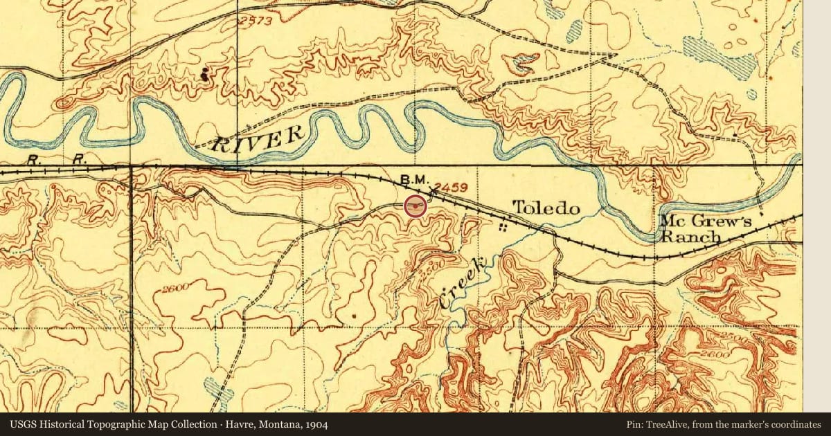
Havre, Montana, 1904, covering this location. USGS Historical Topographic Map Collection. The pin is ours, placed from the marker's coordinates.
Example
For example, one family's tree showed the Articles of Confederation marker in Pennsylvania standing under a mile from where William Gabby lived in the 1760s.
What that marker records spans 1777 to 1789, overlapping William Gabby's years there.