During the last ice age about 15,000 years ago, an enormous glacier pushed down from British Columbia and blocked the Clark Fork River in northern Idaho. The glacier functioned as an ice dam creating the largest glacial lake known to have existed, Glacial Lake Missoula. The lake’s waters backed up into the river’s drainage in western Montana, creating a body of water comparable to today’s Lake Ontario. As the lake filled and water at the ice dam deepened, it caused the lighter glacial ice to float and eventually break up, triggering floods of epic proportions. The water flushed through the Clark Fork drainage west of here enroute to the Pacific Ocean. The torrent scarred the landscape of eastern Washington, creating scablands that still define the landscape. The geologic record indicates that Glacial Lake Missoula filled and emptied on a cyclical basis over a period of about two thousand years. Indeed, the large road cut where the Interstate 90 bridge crosses the Clark Fork River at Nine Mile, ten miles east of here, preserves the record of at least 36 separate fillings of the lake. Other evidence of the glacial floods includes ancient ice age shorelines on the mountains around Missoula.
In 1860, 150 men under the command of Lieutenant John Mullan carved a wagon road through the colorful Precambrian mudstones on the mountainside north of here. The road took six weeks to construct and required the use of explosives to blast a route through the rocks. Called the Point of Rocks Segment of the Mullan Road, the road still traces its way across the mountainside above here. In 1908, the Chicago, Milwaukee, St. Paul & Pacific (Milwaukee Road) Railroad constructed its transcontinental line through the Clark Fork canyon enroute to Seattle. The railroad also excavated tons of rock to cut its way through these mountains to St. Paul Pass. The old railroad grade, later known as the Route of the Hiawatha for the celebrated passenger train that once used the line, is still evident along the north side of Interstate 90. In 1914, the Yellowstone Trail, blazed by distinctive chrome yellow signs with black arrows, passed through this canyon. The trail became U.S. Highway 10 in 1926. Interstate 90 bypassed it here in 1963.
Slide toward Today to fade the historical sheet and see the modern map underneath.
1868 · Map of Oregon, Washington, Idaho, and part of Montana (David Rumsey Map Collection, Stanford Libraries)
1869 · Oregon and Washington Territory. (David Rumsey Map Collection, Stanford Libraries)
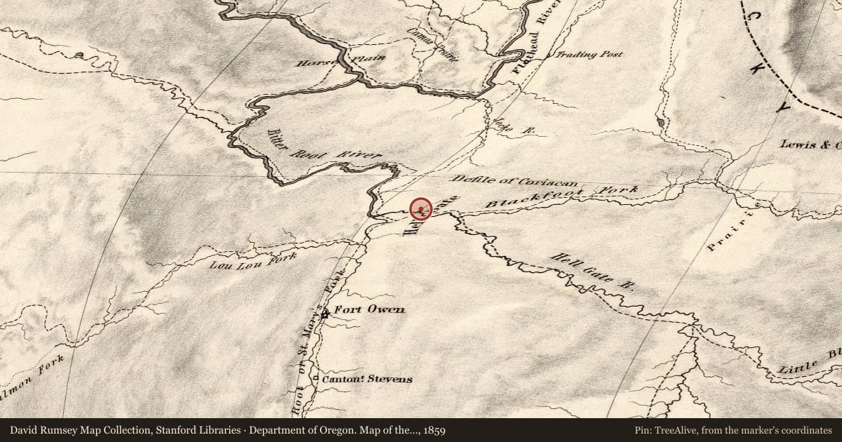
Department of Oregon. Map of the state of Oregon and Washington Territory, 1859, covering this location. David Rumsey Map Collection, Stanford Libraries. The pin is ours, placed from the marker's coordinates.
Example
For example, one family's tree showed the Articles of Confederation marker in Pennsylvania standing under a mile from where William Gabby lived in the 1760s.
What that marker records spans 1777 to 1789, overlapping William Gabby's years there.