Rocks in a small area near Jordan have something in common with the moon. In 1969, Apollo 11 astronauts collected samples that contained a titanium-rich mineral called Armalcolite. The mineral has since been found in a few places on Earth, including in the igneous rocks at Smoky Butte eight miles west of here. The magma that produced the igneous rock was hot enough to bake and harden the layers of sedimentary rock it intruded. The igneous rock and baked sediments are more resistant to erosion, resulting in formation of the butte. The Fort Union Formation and the underlying Hell Creek Formation which is exposed to the south and west of Jordan, record important world-wide events that contributed to the extinction of the dinosaurs. About 75 million years ago the shallow sea that extended from the Arctic to the Gulf of Mexico, receded from this area. The western shoreline of the sea migrated eastward as mountains rose to the west, creating the coastal-plain dinosaur habitat of the Hell Creek Formation. Dinosaur fossils found in the formation include Triceratops, hadrosaurs called Edmontosaurus, the fierce Tyrannosaurus rex, and many others.
The top of the Hell Creek Formation includes a layer containing unusual amounts of iridium, an element more abundant in meteorites and asteroids than in terrestrial rocks. Quartz grains in this layer have a distinctive pattern of fractures that could only have come from tremendous shock waves, the kind that a major impact to the earth can produce. Dinosaur fossils are found below this layer in the Hell Creek Formation, but not above it in the Fort Union Formation. Some scientists think that the dinosaur extinction may have been caused by a large extraterrestrial object that crashed into what is now the Yucatan Peninsula of Mexico. The impact engulfed the earth in a massive shroud of dust and debris that blackened the skies, produced widespread fires, and perhaps increased volcanic activity.
Slide toward Today to fade the historical sheet and see the modern map underneath.
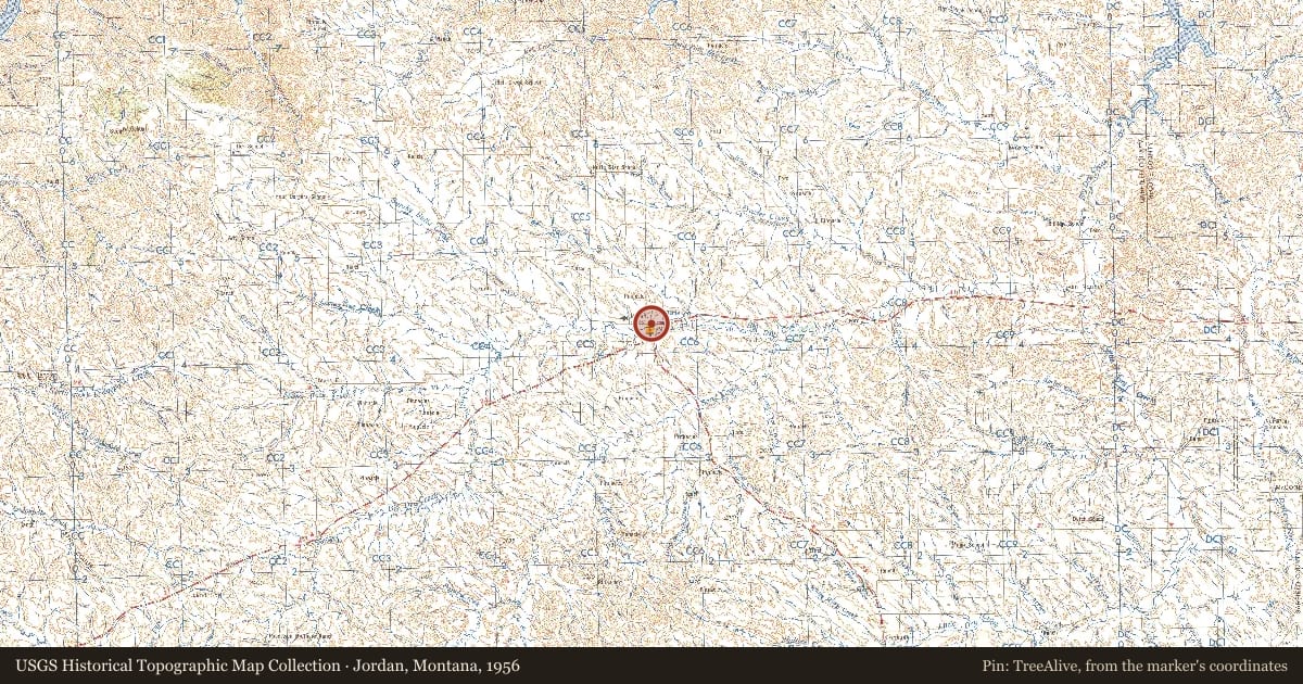
Jordan, Montana, 1956, covering this location. USGS Historical Topographic Map Collection. The pin is ours, placed from the marker's coordinates.
Example
For example, one family's tree showed the Articles of Confederation marker in Pennsylvania standing under a mile from where William Gabby lived in the 1760s.
What that marker records spans 1777 to 1789, overlapping William Gabby's years there.