The Fort Union Formation was deposited not long after the dinosaur extinction, about 65 million years ago. Rivers originating in mountain uplifts to the west and south carried abundant sediment to the nearby shallow inland sea to the east, crossing the subtropical, swampy coastal plain of eastern Montana on their way. As the rivers shifted, the swamp vegetation and peat were covered with thick deposits of sand, silt, and clay. In time, the vegetation and peat compacted to coal, and the sand, silt, and clay were cemented and compacted into sandstone, siltstone, and mudstone. Eastern Montana has an estimated 200 billion tons of coal that developed from the vegetation of these swamps. Coal that was more deeply buried in southeastern Montana reached the sub-bituminous rank, but the coal near Plentywood is lignite, which has lower energy content than higher ranked coal. Most of the coal is buried under layers of the soft rock in the Fort Union Formation, but coal is locally exposed in hills and road cuts. The scattered red rock of the Fort Union Formation is clinker. Clinker is formed when lightning strikes, wildfires, or spontaneous combustion causes the coal to ignite and burn. The fires might burn for centuries. The intense heat of the burning coal baked the adjacent sedimentary layers creating the dense, hard red rock.
Northeastern Montana is part of the Williston Basin, a slightly irregular, round depression centered in North Dakota that slowly subsided over hundreds of millions of years. It served as a locus for sediment accumulation, and now has up to 16,000 feet of sedimentary rock in the deepest part of the basin. The Williston Basin is a major oil and natural gas province because it has all the right components and conditions for oil and gas formation and accumulation: organic-rich deposits such as black shale to generate the oil and gas, reservoir rocks where it accumulated such as porous sandstone, and geologic traps. The traps are faults, folds, and lateral changes in the rock that keep the oil and gas from moving out of the area of accumulation.
In 1951, wildcat drillers began probing in the Williston Basin of northeastern Montana for oil and natural gas. They struck oil and precipitated an economic boom that had a significant impact on entire state. The boom peaked in 1968 when 48 million barrels of crude oil were pumped from underground pools in eastern Montana. Thereafter, production in the oilfield declined until just a few hundred oil wells continued to operate in the region.
Slide toward Today to fade the historical sheet and see the modern map underneath.
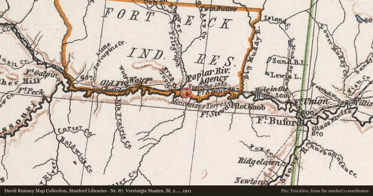
1911 · Nr. 87. Vereinigte Staaten, Bl. 2. ... von H. Habenicht. (David Rumsey Map Collection, Stanford Libraries)
1945 · Uprooted people of the U.S.A. (Digital Commonwealth, Boston Public Library)
1954 · Wolf Point, Montana (USGS Historical Topographic Map Collection)
1958 · Wolf Point, Montana (USGS Historical Topographic Map Collection)
Nr. 87. Vereinigte Staaten, Bl. 2. ... von H. Habenicht, 1911, covering this location. David Rumsey Map Collection, Stanford Libraries. The pin is ours, placed from the marker's coordinates.
Example
For example, one family's tree showed the Articles of Confederation marker in Pennsylvania standing under a mile from where William Gabby lived in the 1760s.
What that marker records spans 1777 to 1789, overlapping William Gabby's years there.