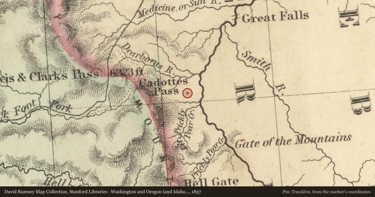
The Lewis and Clark Expedition passed through this canyon of "nearly perpendicular rocks" during its journey up the Missouri River in July 1805. Although the men grumbled about mosquitoes and prickly pear cactus, the Corps of Discovery was clearly impressed by the Adel Mountain Volcanics, the eroded remains of a pile of volcanic rocks more than 40 miles long and 20 miles wide. The volcanics consist mostly of fragments--blocks, cinders, ash--from violent, explosive eruptions that blasted magma out of the earth and into the air. The eruptions occurred about 75 million years ago and continued for several million years.
Erosion has exposed some of the underground "plumbing" for the volcanic center. Magma rose up along cracks and had enough pressure to push the walls of cracks apart for tens of feet, forming dikes. At several places in the canyon, you’ll notice the dark ridges--dikes--going up the mountainsides. Some magma squirted in along the bottom of the pile of volcanics forming horizontal intrusions called laccoliths. Square Butte, Shaw Butte, and Cascade Butte are prominent laccoliths with high, vertical cliffs that can be seen between Ulm and Cascade. This great eruption of magma occurred on the Great Falls Tectonic Zone--a collision zone between two continental plates which collided more than a billion years ago. It left a zone of weakness that resulted in the Adel Mountain Volcanics.
Native Americans frequently camped in this area on their way to and from the buffalo hunting grounds. The rugged landscape, however, largely prevented the non-Indian settlement of the area until late in the 19th century. Montana’s first modern road-builder, John Mullan, skirted the mountains for a route far to the northwest. The canyon’s residents were mostly cattle ranchers who sold their animals in Helena or Great Falls. The arrival of the Montana Central Railroad in 1887 did much to open this region to settlement, but it was not until the early 1930s that a modern paved highway connected Helena and Great Falls through this area. U.S. Highway 91 wound its way along the Missouri River through the volcanic outcrops of the canyon, crossing the river over two large steel truss bridges that still carry traffic in the vicinity of Hardy and Wolf Creek. Though bypassed by Interstate 15 in the 1960s, old U.S. 91 provides motorists a unique opportunity to experience a Great Depression-era road through one of the most spectacular landscapes in Montana.
Slide toward Today to fade the historical sheet and see the modern map underneath.
For example, one family's tree showed the Articles of Confederation marker in Pennsylvania standing under a mile from where William Gabby lived in the 1760s.
What that marker records spans 1777 to 1789, overlapping William Gabby's years there.