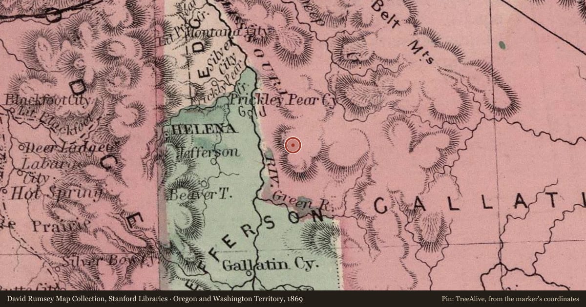
Shortly after the discovery of gold in Confederate Gulch, freighters established a road between Helena and Diamond City. The Missouri River was a barrier to travelers until John Oakes established a ferry in Black Rock Canyon in 1865. A small settlement, called Canyon Ferry, flourished at the ferry crossing. Its hotel, saloon, stage station, stable, and dry goods store served travelers and local residents. In 1898, Samuel Hauser’s Helena Water and Electrical Power Company built a stone dam at a narrow point in the canyon near Canyon Ferry. A little over half a century later, in July 1949, the Bureau of Reclamation began construction of a massive concrete dam just downstream of the old structure. Since 1954, the dam has produced hydroelectric power and water for irrigation. It backs up a reservoir 25 miles in length with 76 miles of shoreline. Canyon Ferry Reservoir took two years to fill, flooding thousands of acres of farmland and inundating the communities of Canyon Ferry and Canton. Today, the reservoir provides water for irrigation and recreation for fishermen, boaters, and other sportsmen
On September 16, 1947, a Montana Air National Guard A-26 aircraft carrying Lieutenant Colonel Willard S. Perry and Sergeant Charles L. Glover crashed in the Big Belts during an early season snowstorm. Both men served in the Army Air Corps during World War II and Colonel Sperry was the first commander of the Montana Air National Guard.
Slide toward Today to fade the historical sheet and see the modern map underneath.
For example, one family's tree showed the Articles of Confederation marker in Pennsylvania standing under a mile from where William Gabby lived in the 1760s.
What that marker records spans 1777 to 1789, overlapping William Gabby's years there.