Fifty-five to thirty-four million years ago, volcanoes erupted in several areas of central Montana. The upwelling of magma which fed these volcanoes was largely responsible for the Bears Paw Uplift and for several other isolated mountain ranges in central Montana. In some places, as the molten rock pushed its way upward toward the surface, it up-arched the layered rocks above it to form a magma dome called a laccolith. In other places, the magma rose nearly vertically, sheet-like to form dikes. The dikes now look like old fallen-down stone walls protruding up through the grass of the ranchlands. Some of the magma crystallized into shonkinite, a rare rock, named for exposures near the town of Shonkin, Montana. Some of the laccoliths eroded to form large buttes. The most prominent of these buttes are Square Butte northeast of Box Elder and Centennial Mountain northeast of Big Sandy. While the mountains were rising, an east-west rift (or rifts) developed near the crest, and rocks slid both to the north and south on marine shales of Cretaceous age. The sliding produced many faults in the adjacent Great Plains. The faults south of the mountains are especially prominent; most of those to the north, however, are covered by glacial deposits.
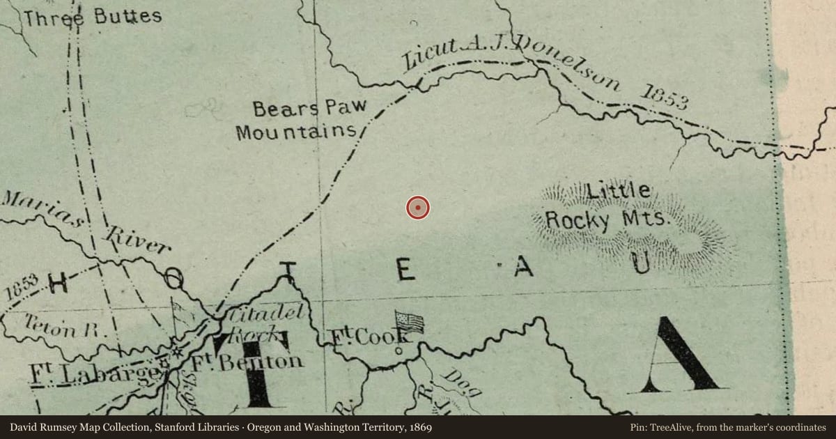
It is not known how the mountain range got its name. According to one legend, many generations ago, an Indian killed a deer while hunting in the mountains. Before he could return to his camp, he encountered a bear, which knocked him down and pinned him to the ground. The hunter appealed to the Great Spirit for help, who answered by filling the heavens with lightning and thunder, which killed the bear and severed it paw, releasing the hunter. Or perhaps one of the range’s mountains resembles a bear’s paw and gave the mountain range its name. Another tale states that to Indians looking down from the summit of one of the peaks, the ridges spread out below them resembled a bear’s paw. The Bears Paw Mountains were an important landmark on the Minnesota-Montana Road in the 1860s. The lure of gold drew thousands of men, women, and children to Montana. Between 1862 and 1866, Captain James Fisk led several expeditions across the northern Great Plains from Minnesota to Fort Benton, where the expedition members scattered to the mining camps in southwestern Montana. The journey across the plains on the road usually took about 2½ months and involved several different routes. In Montana, the road crossed the plains north of the Missouri River, thus avoiding any major river crossings. The west end of the Bears Paw Mountains marked the point where the road turned southwest to the river port of Fort Benton, the terminus of the road.
Slide toward Today to fade the historical sheet and see the modern map underneath.
For example, one family's tree showed the Articles of Confederation marker in Pennsylvania standing under a mile from where William Gabby lived in the 1760s.
What that marker records spans 1777 to 1789, overlapping William Gabby's years there.